
These are some of my photos from around the Isle of Man. I had some time to explore while there weren’t any races going on. You might tend to think that being a small island, there can’t be that much to see, but that’s not the case at all. There is a lot of history here, much of it dating back to Viking times. This is one of the few places I have ever visited that I have found to be the most difficult to leave.
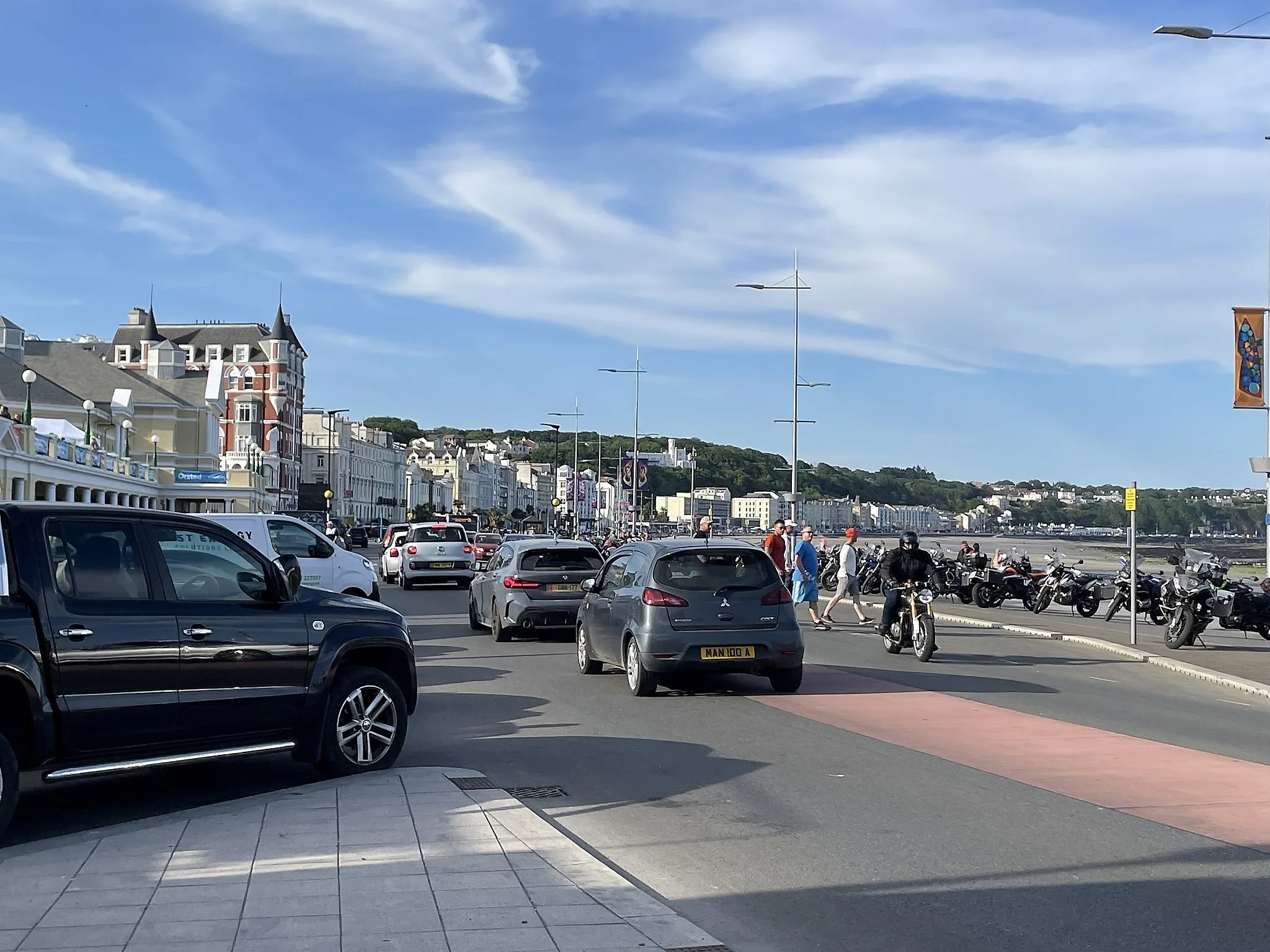
Douglas, the capitol of the Isle of Man.
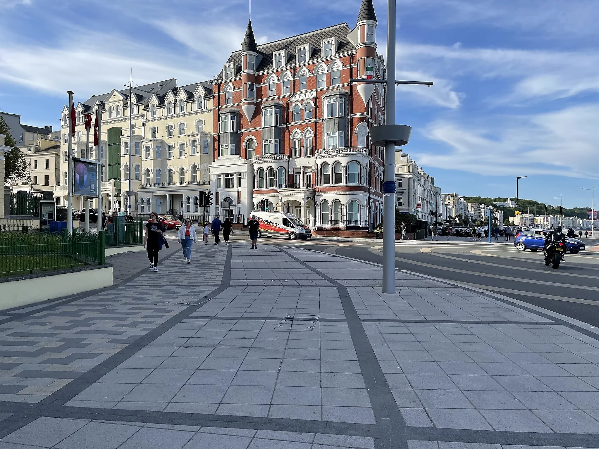
Much of the architecture along the Promenade is similar, and gives the city its charm.
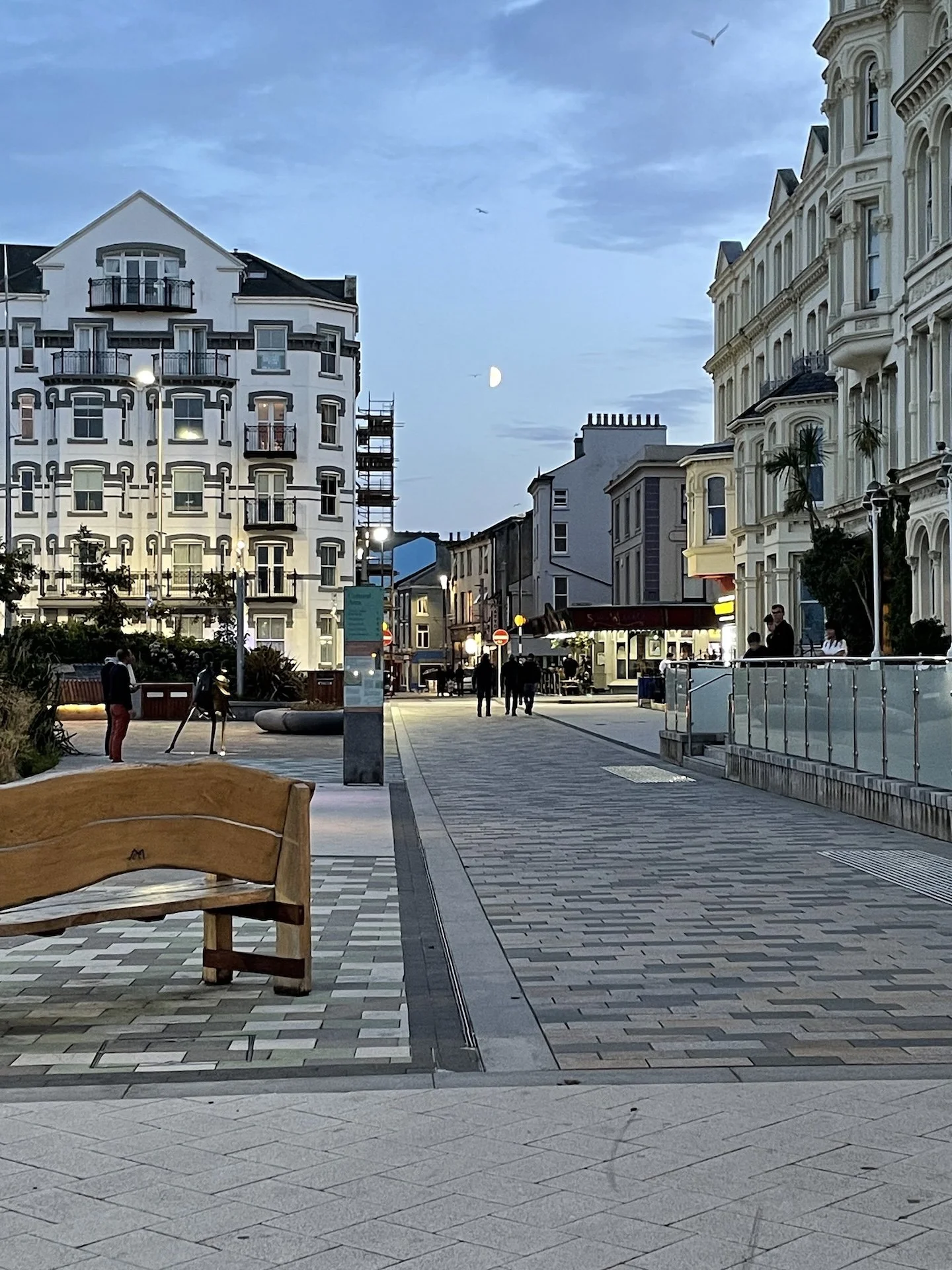
Standing on the Promenade, looking west towards Marina Rd.
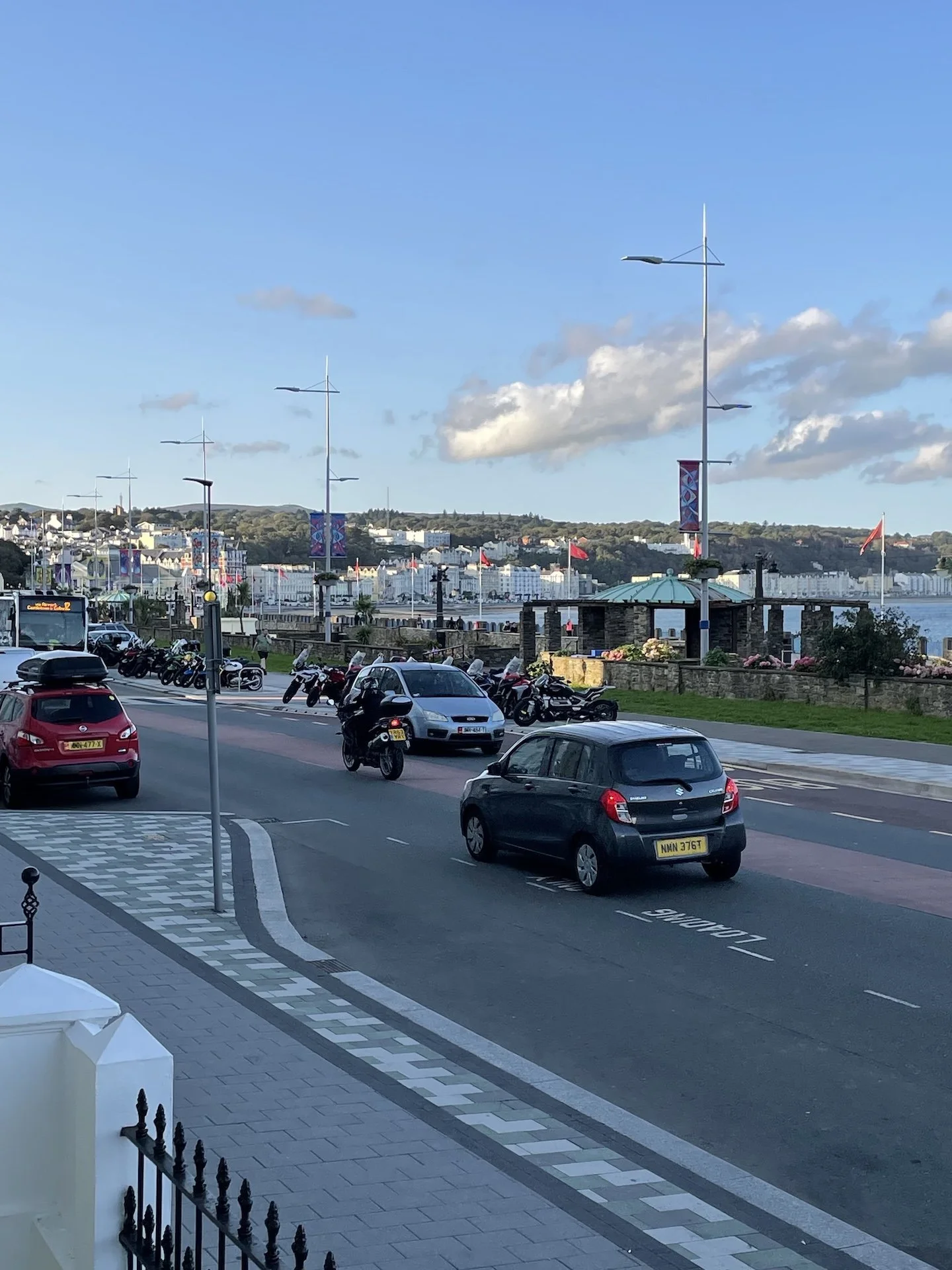
From the south end of the Promenade looking north.
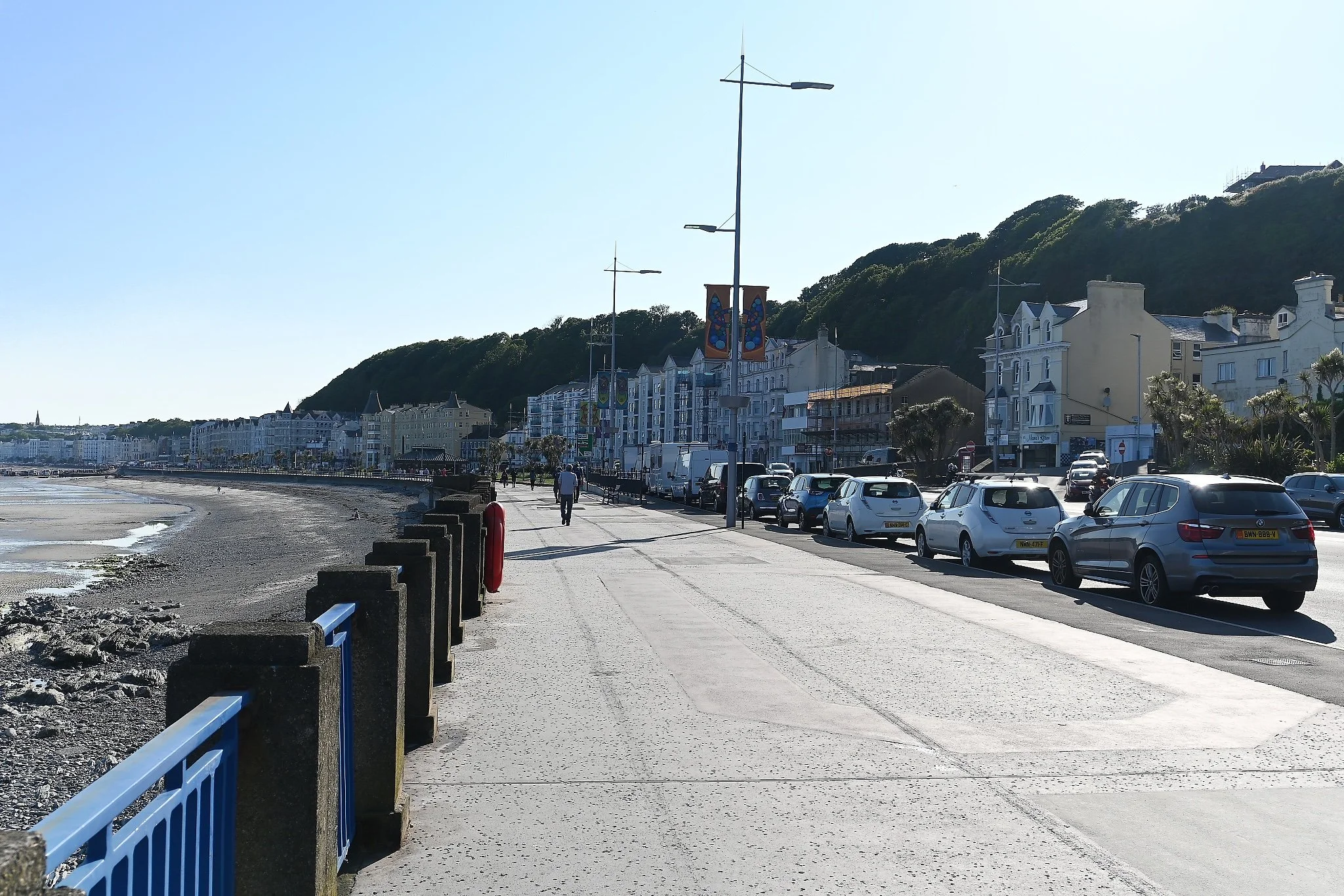
Walking along the Promenade in Douglas.
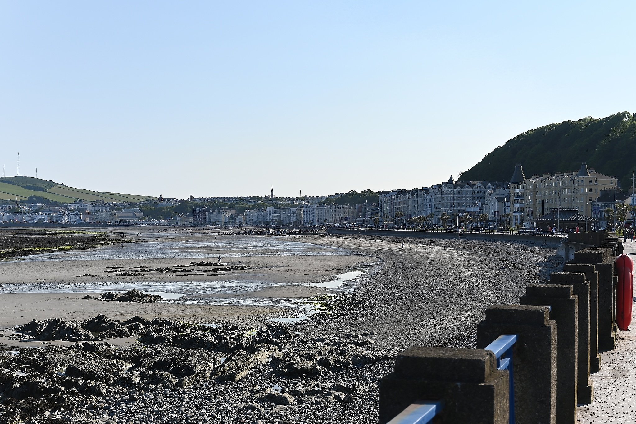
Douglas at low tide.
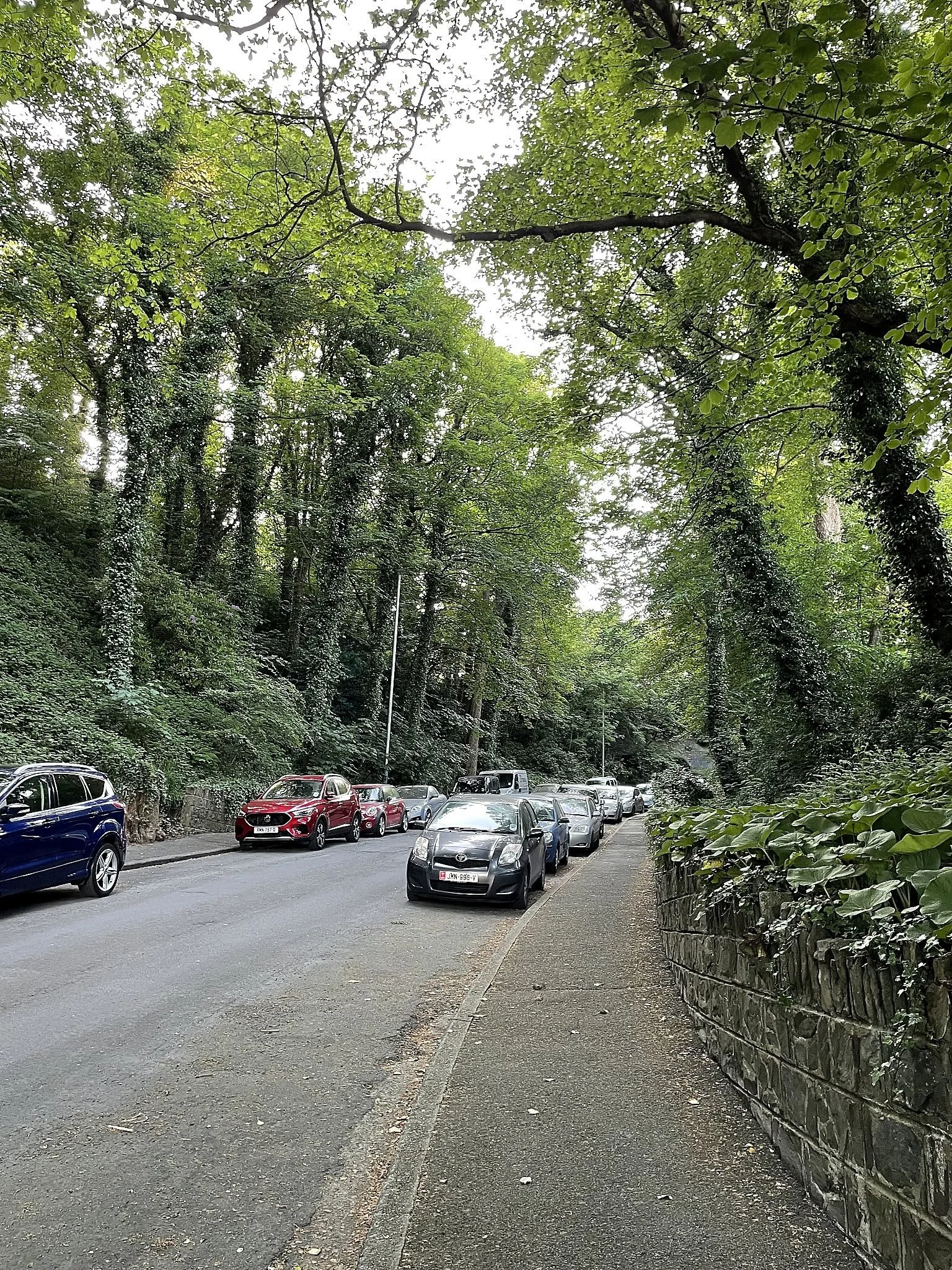
This is Mona Drive. I would take this street from the Promenade to the TT Village.
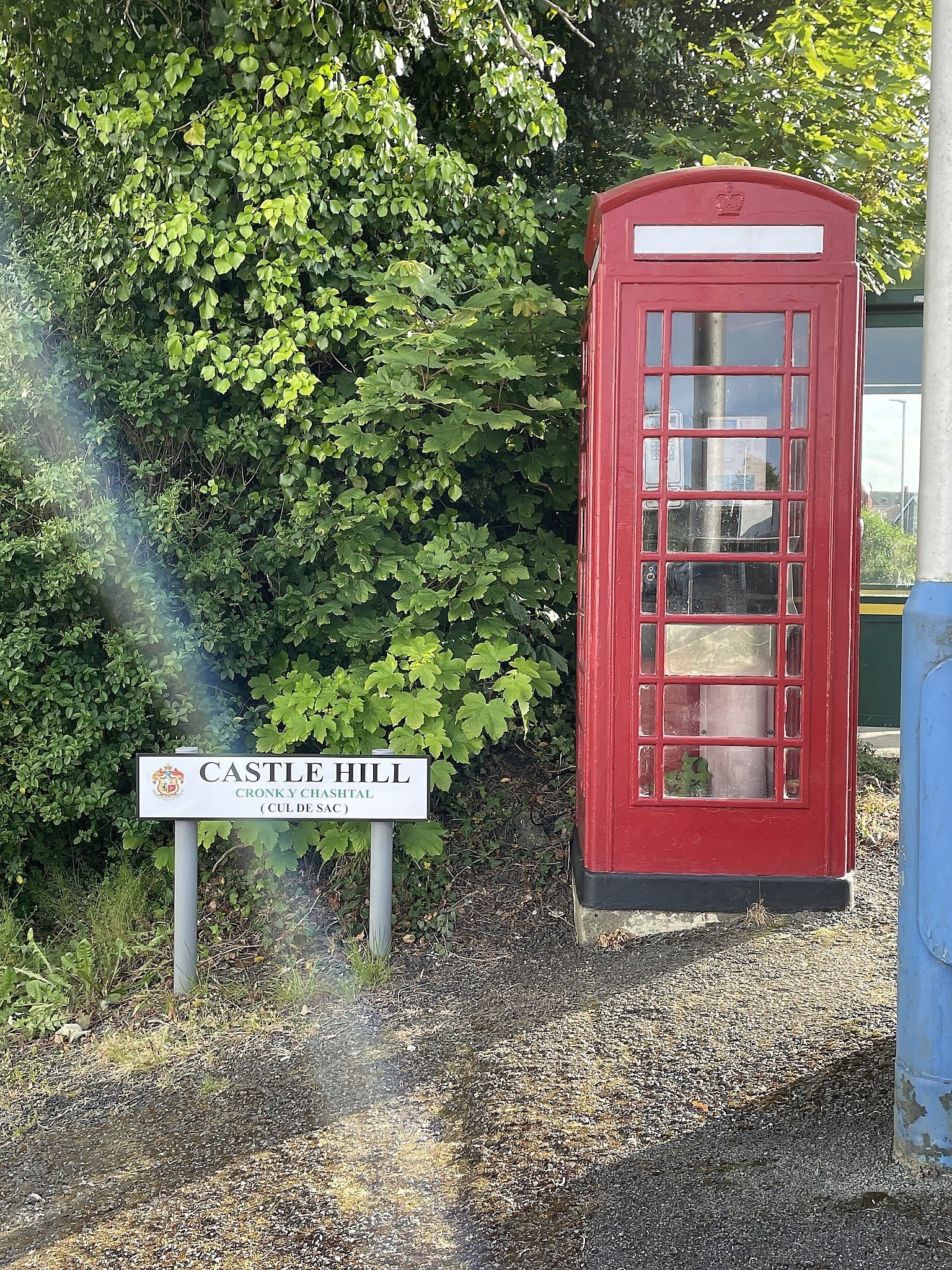
There's even a Visitors Entrance to the Ministry of Magic on the Isle of Man.
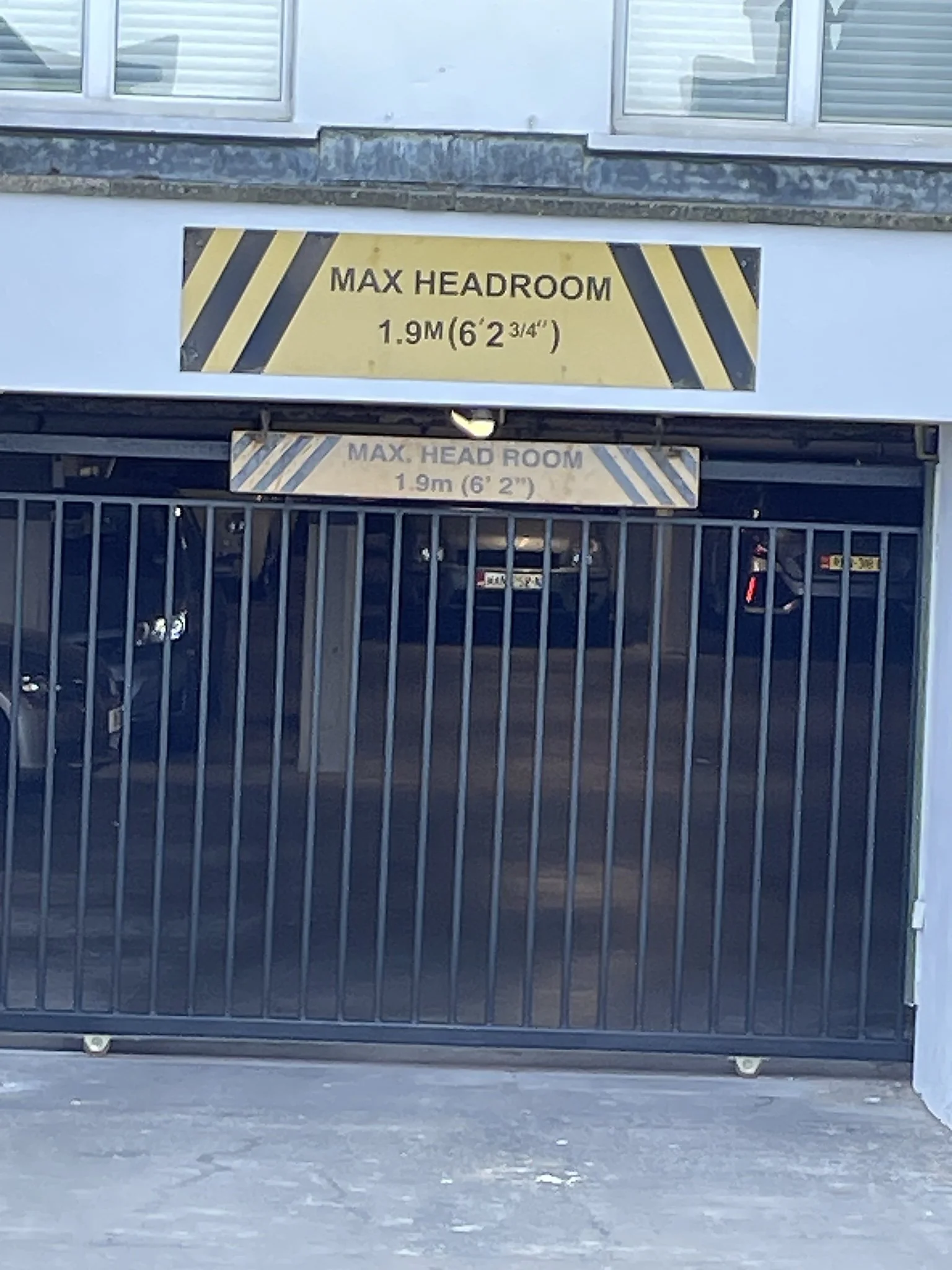
If you know, you know.
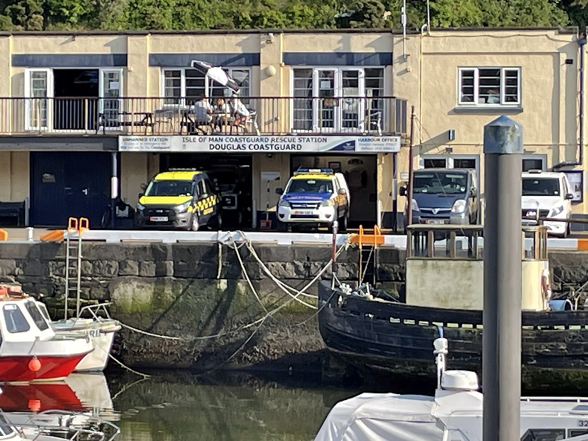
The Douglas CoastGuard station. Unlike the U.S. Coast Guard, the U.K. Coastguard and RNLI are separate agencies, but often perform some of the same tasks.
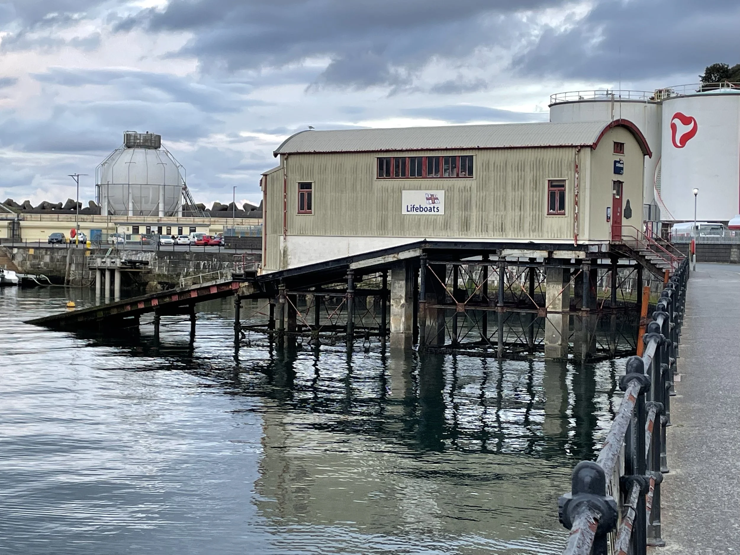
Royal National Lifeboat Institute (RNLI) Station #1. The RNLI was founded by Sir William Hillary in 1854.
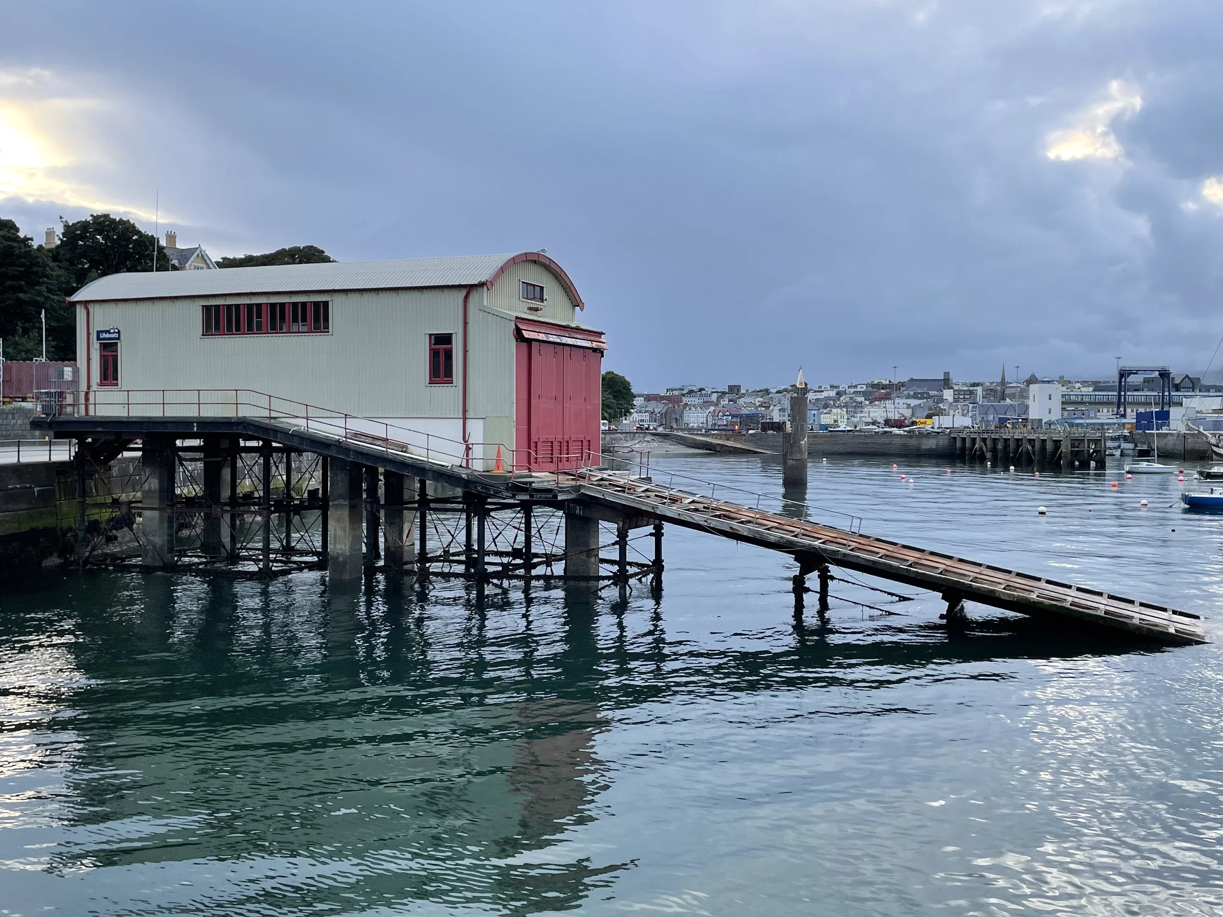
Many of the RNLI Lifeboat stations use the ramp system to launch their boats.
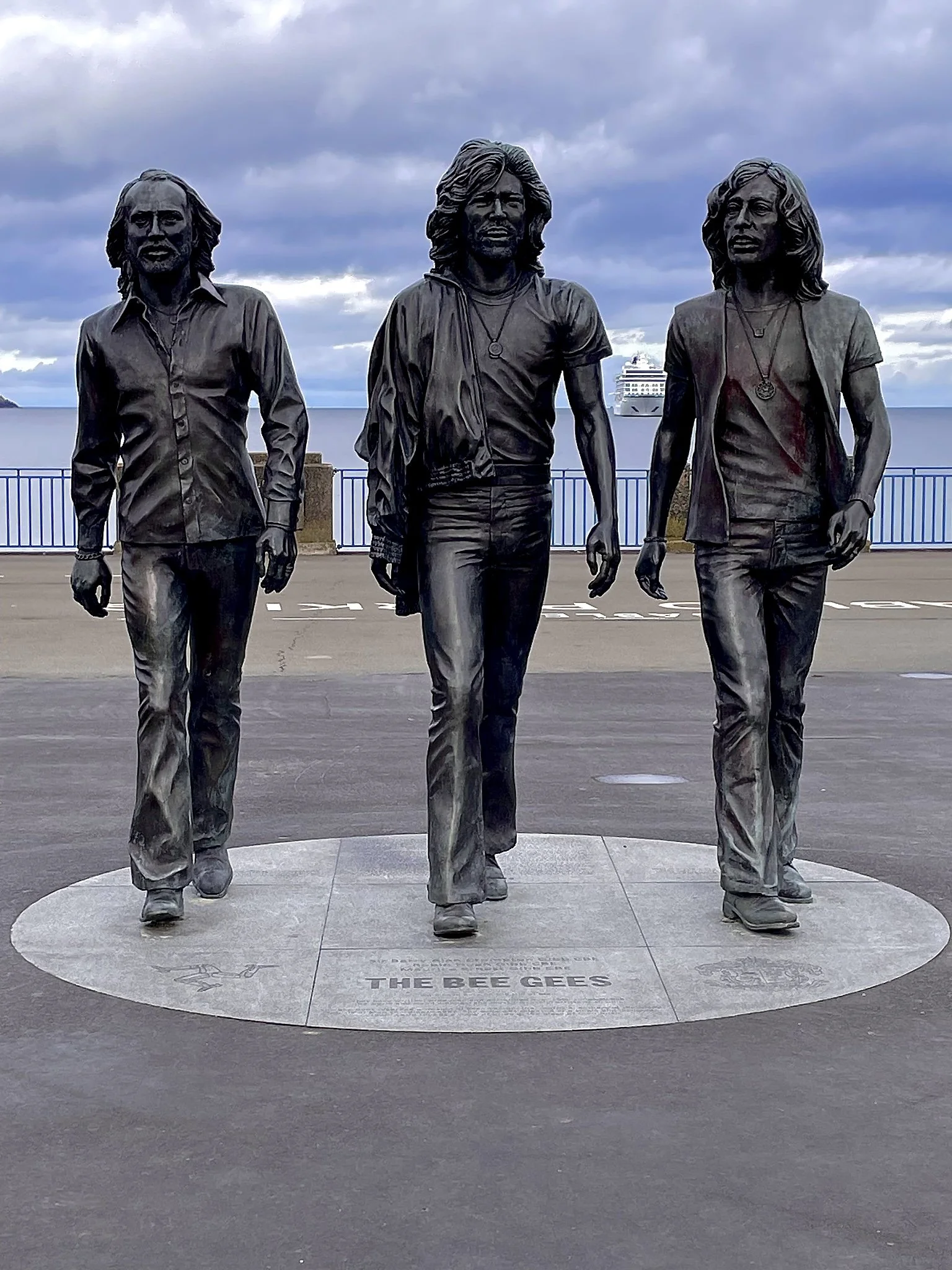
Yes, the Bee Gees were actually born on the Isle of Man.
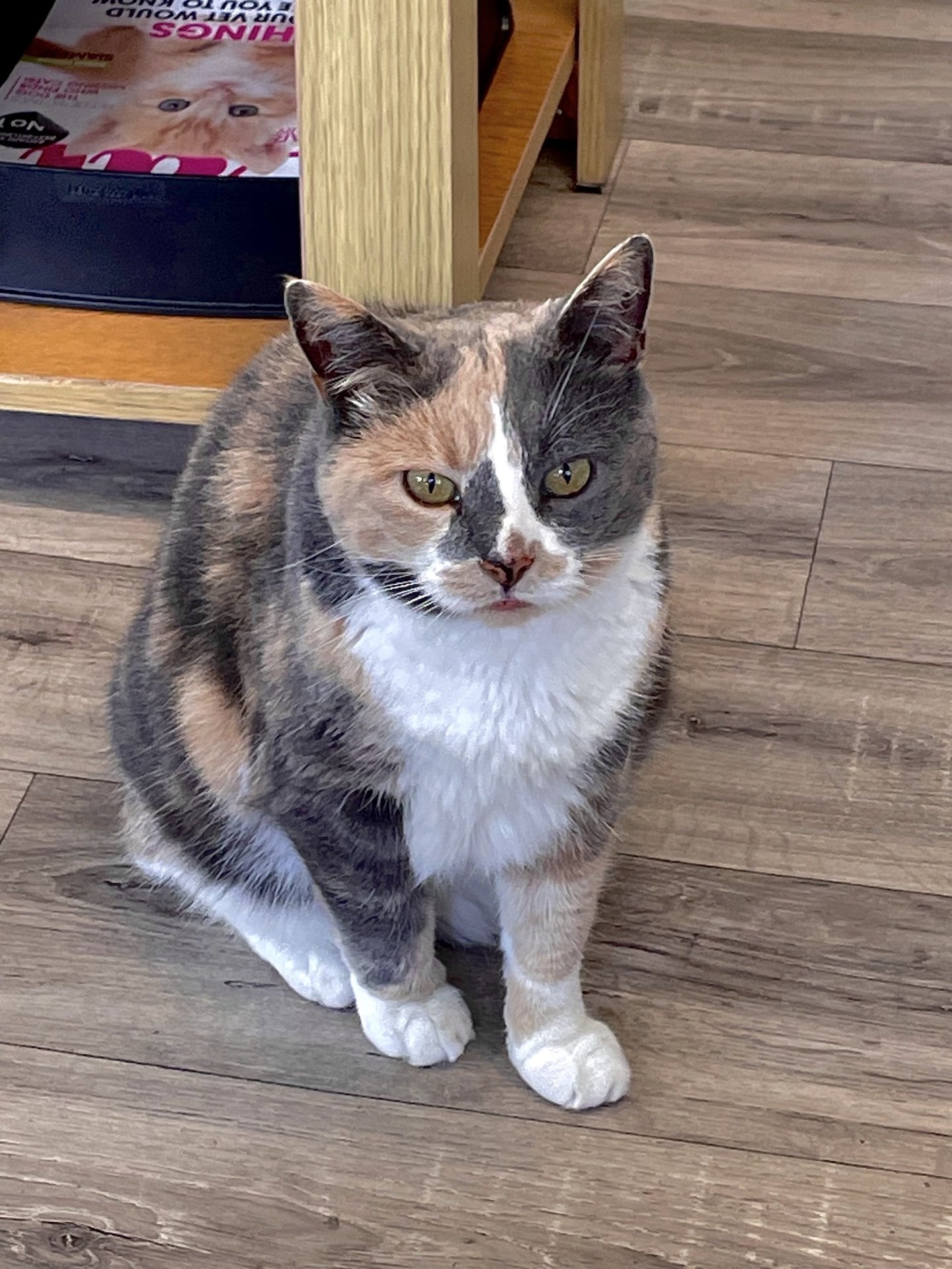
One of the local Manx Cats.
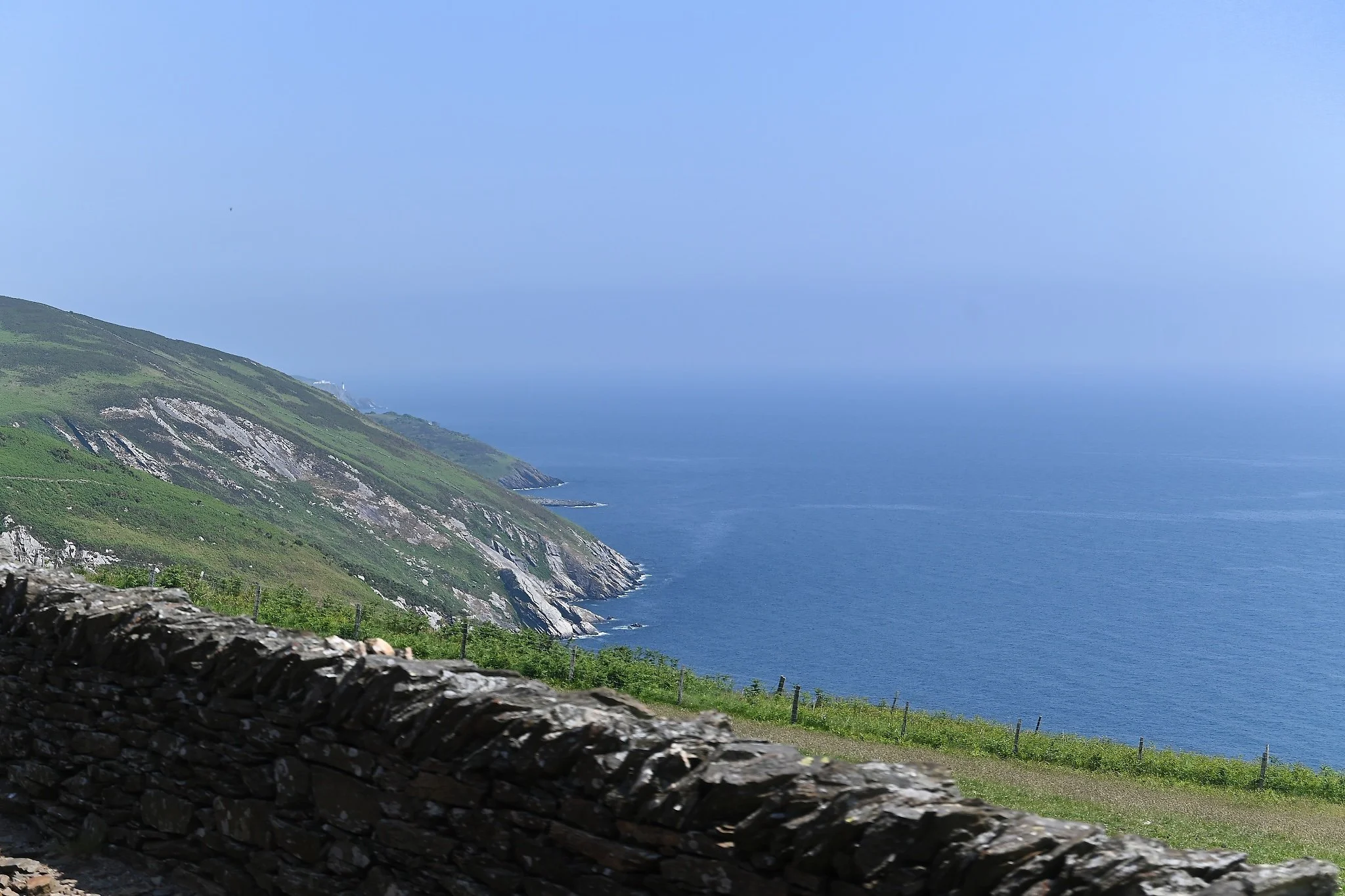
A view from the Electric Tram from Douglas to Ramsey.
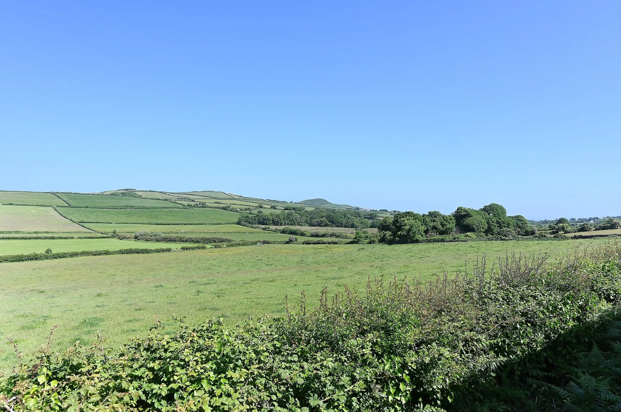
Much of the interior of the island looks like this.
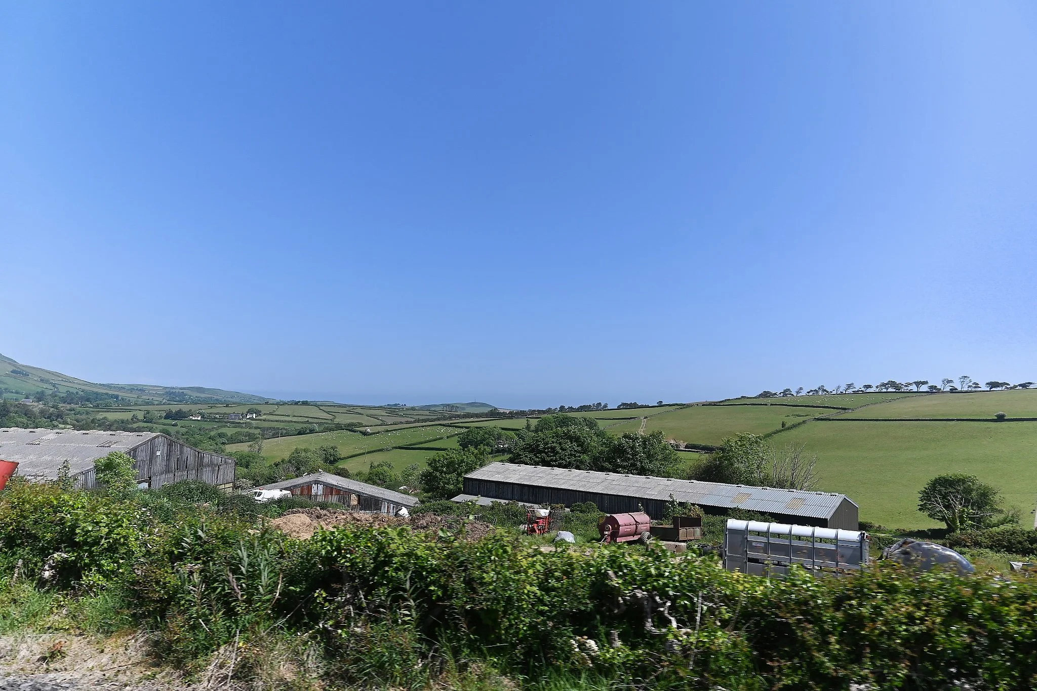
Farming, both cattle and sheep are prominent on the island.
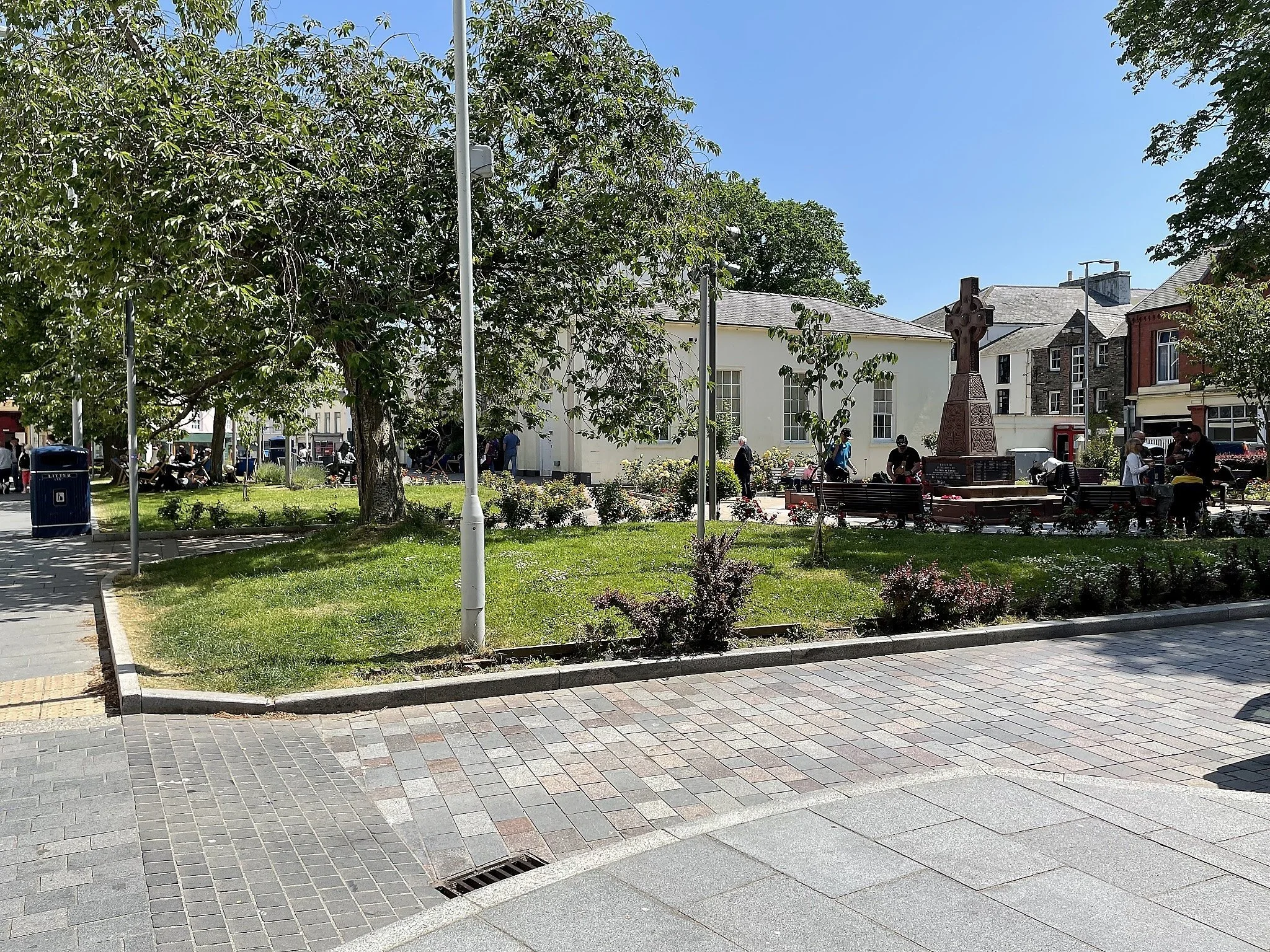
Ramsey Court House in Ramsey.
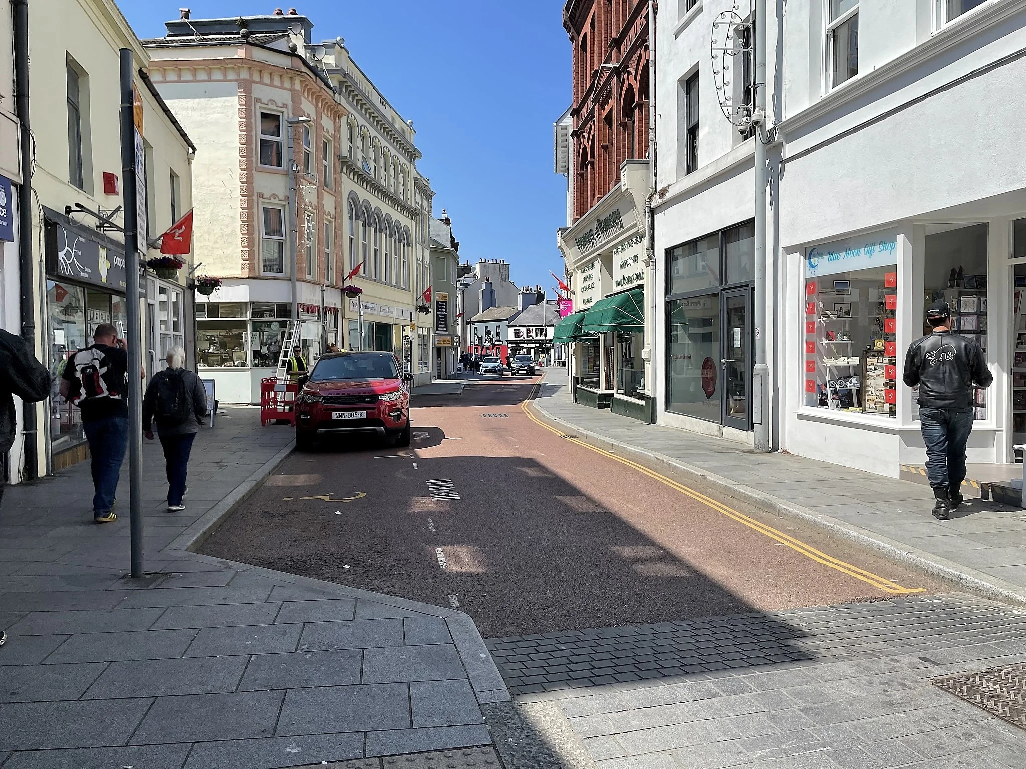
Looking west down Parliament St. in Ramsey. There's a great Fish & Chips shop right behind me.
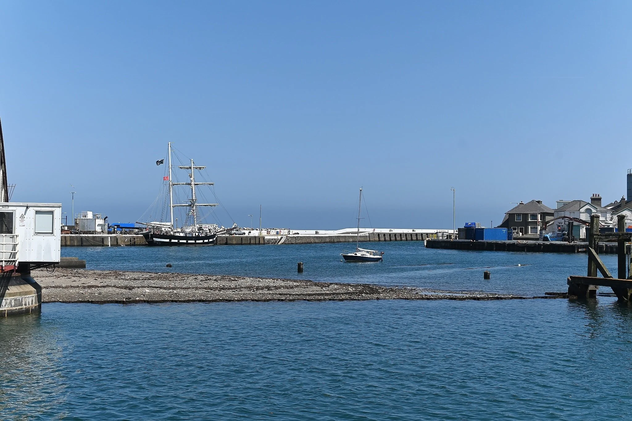
The harbor at Ramsey.
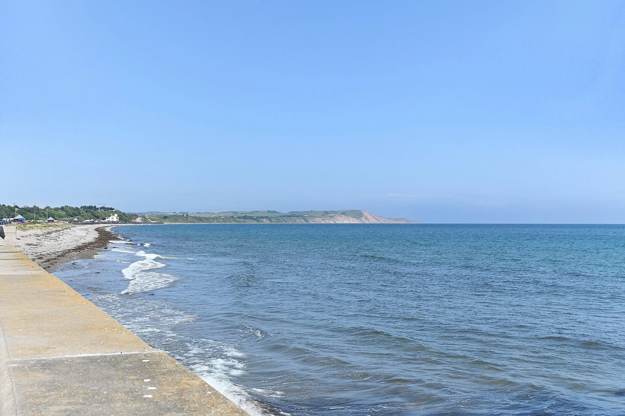
Looking north towards Point of Ayre.
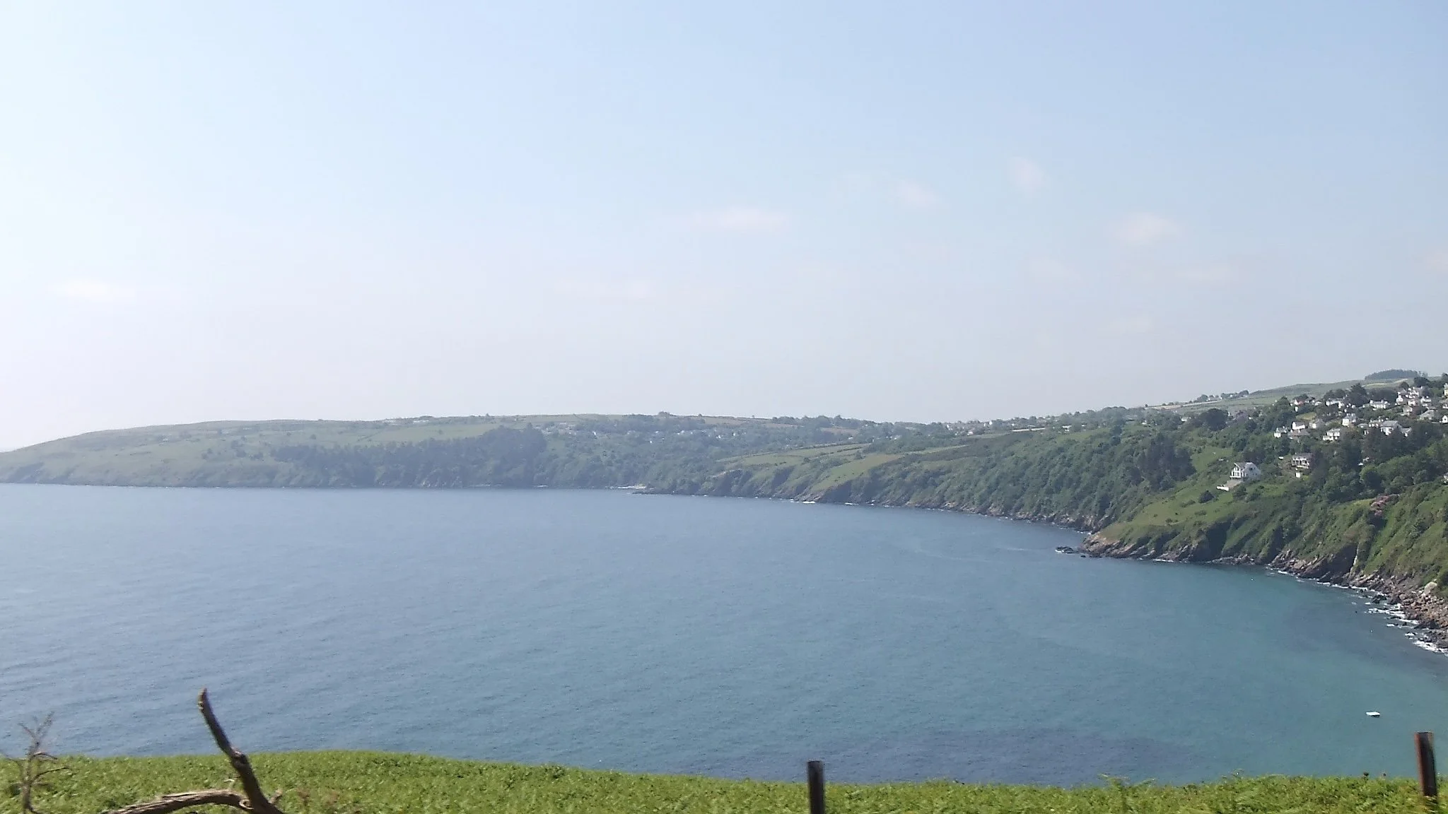
A view from just above Laxey.
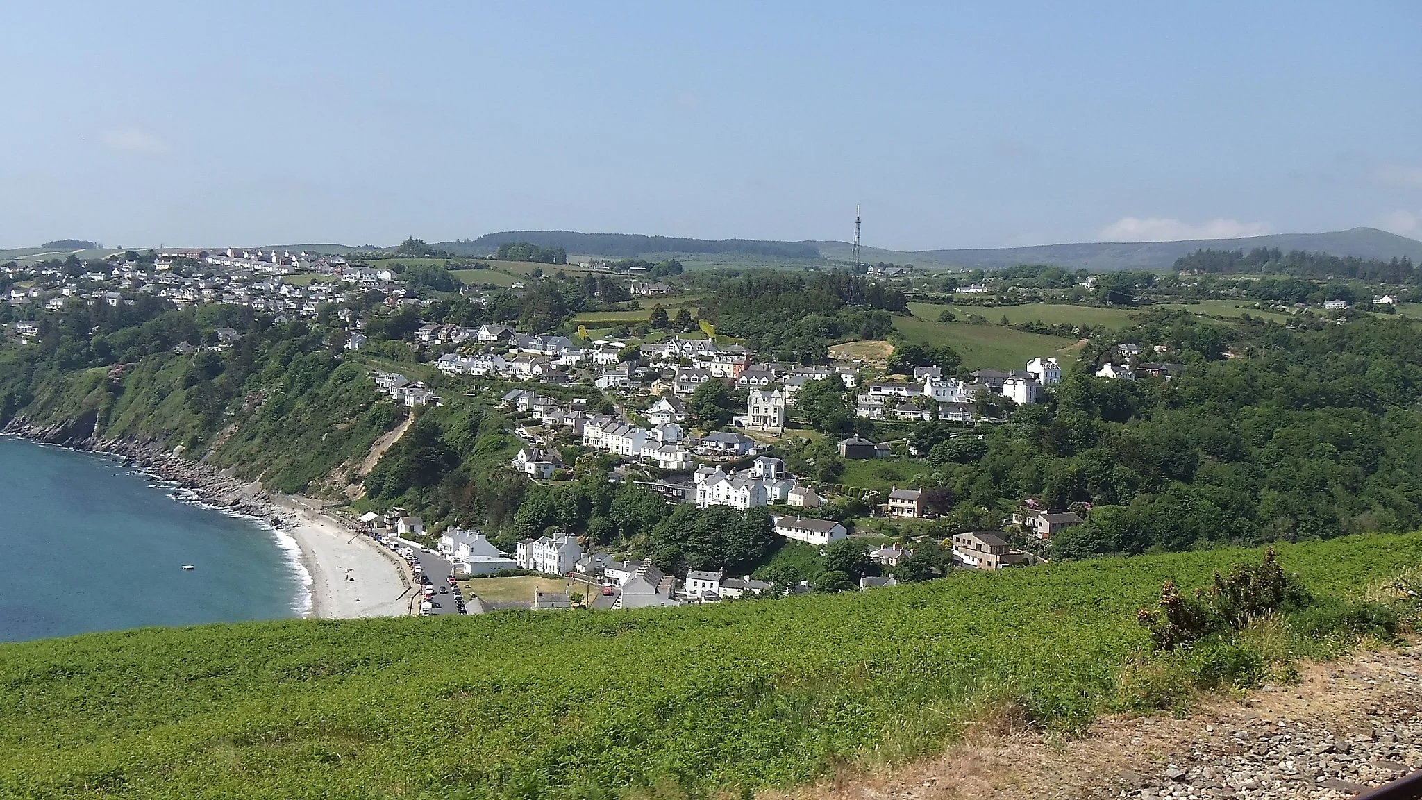
The village of Laxey, with Laxey Beach just visible in the foreground.
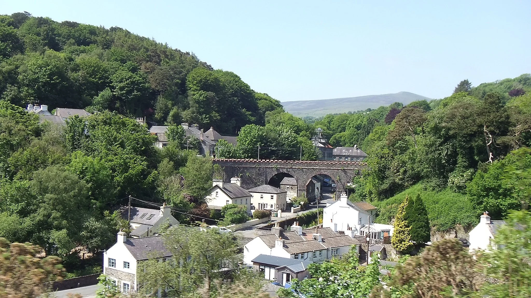
Laxey with the Glen Roy Viaduct (center).
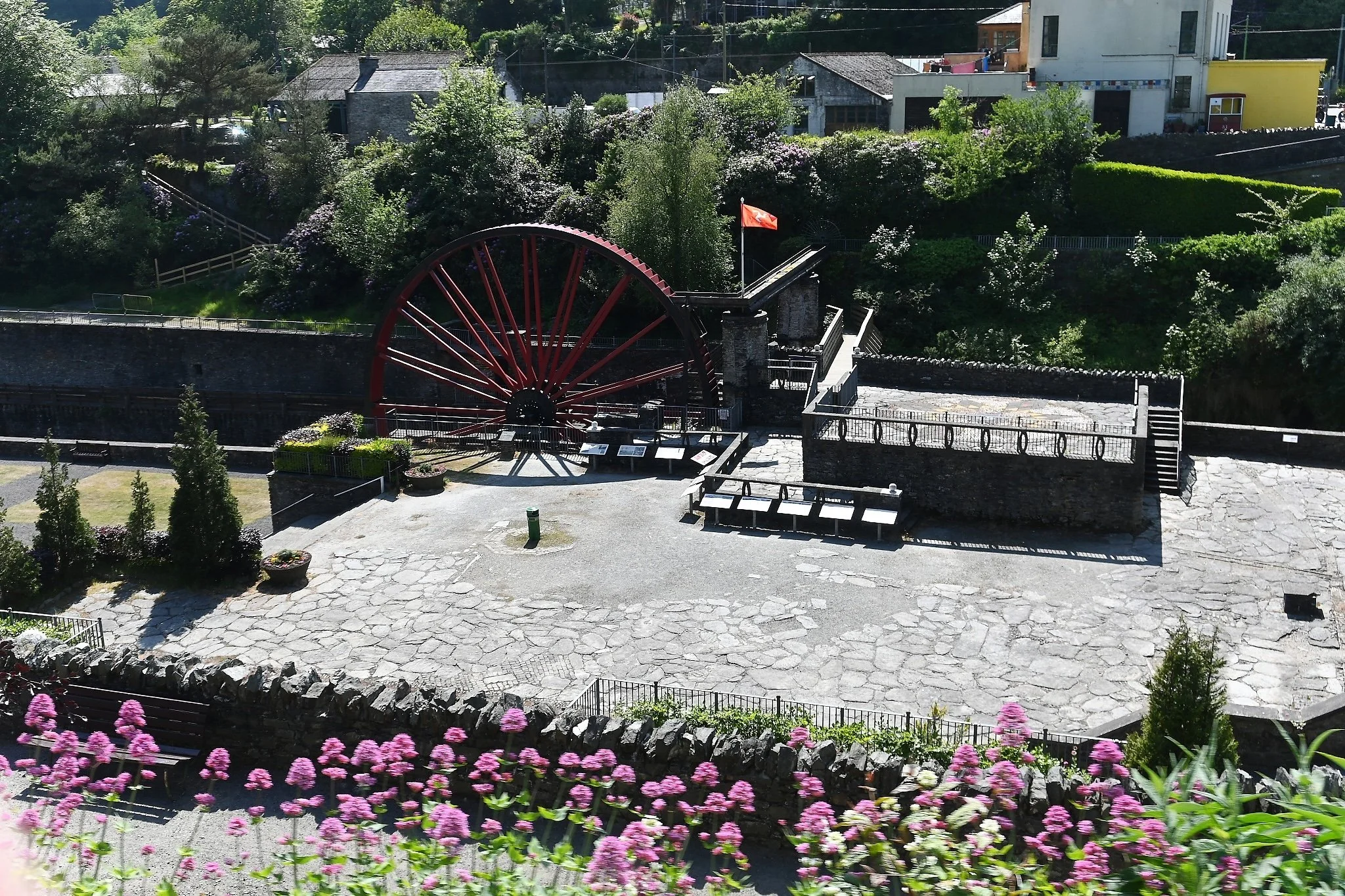
One of the two Laxey Wheels, with this one known as the Lady Evelyn Wheel. These giant wheels worked the pumps to pump out water from the mines in Laxey. Both have been restored, but the one pictured here hasn't been returned to running condition.
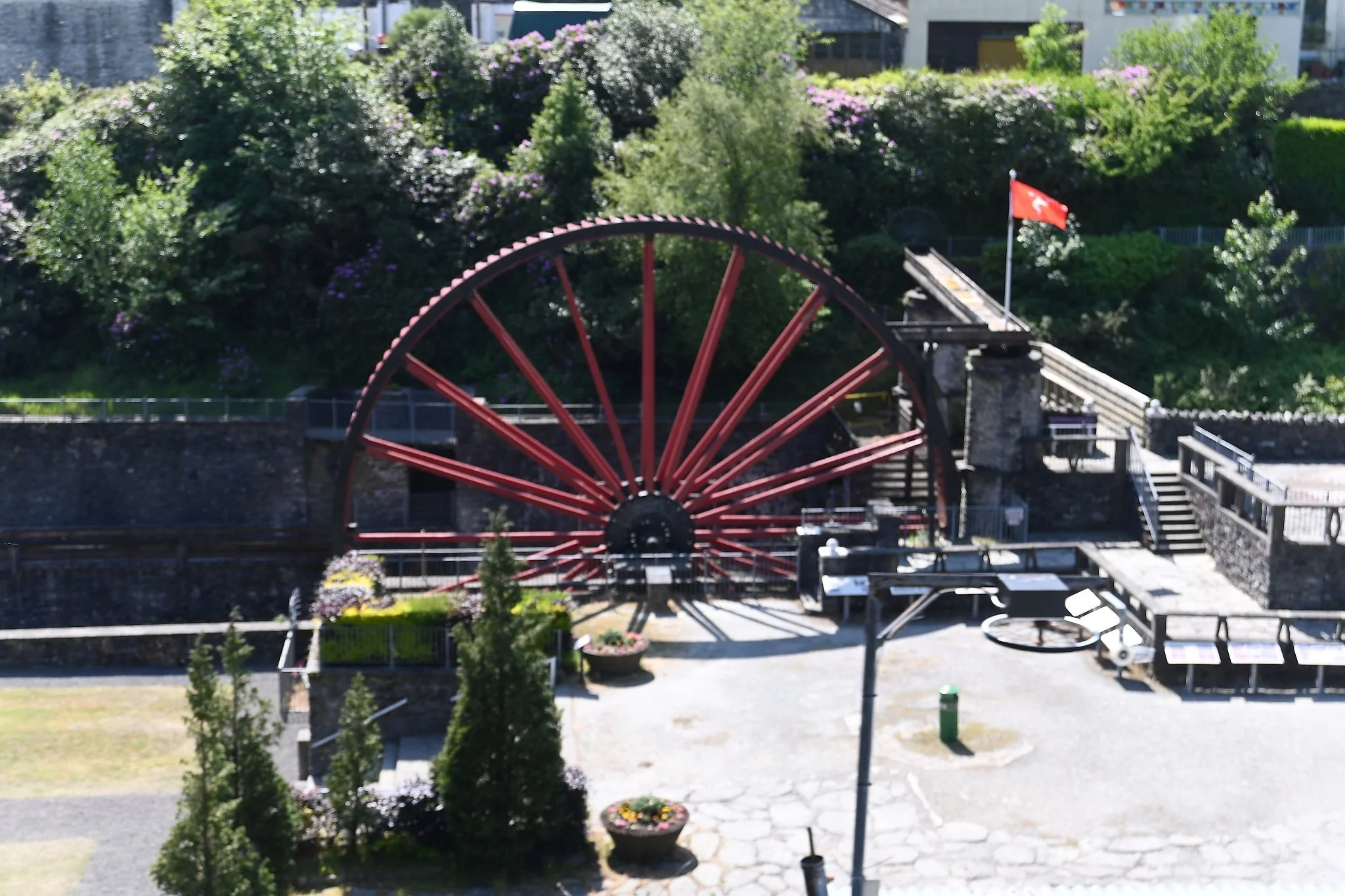
The Lady Evelyn Wheel is the smaller of the two wheels. Unfortunately, i didn't get a picture of the other wheel. I'll save that for the next trip to the island.
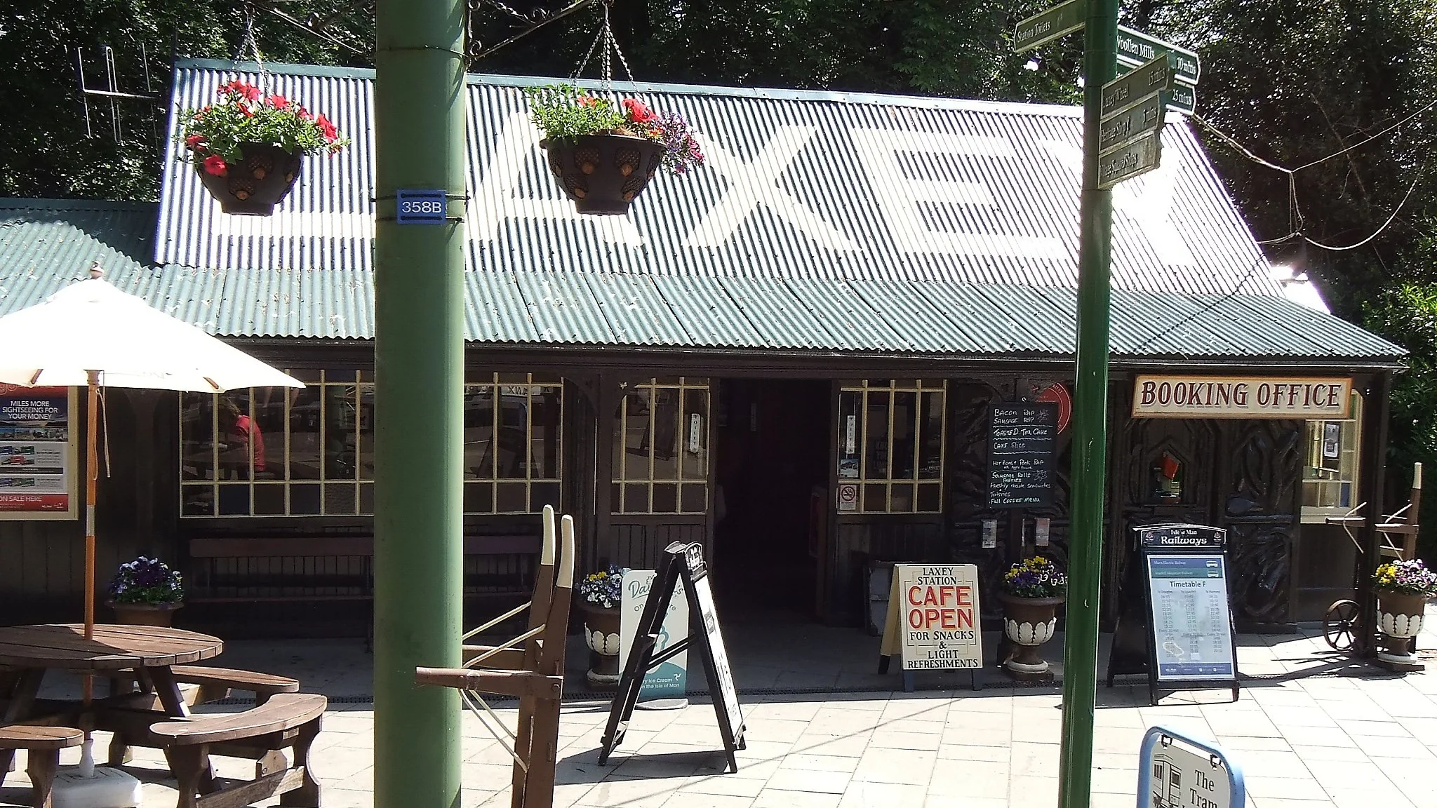
Manx Electric Railway (MER) Laxey Station. This is where you hop off the electric tram or the bus and get on the Snaefell Mountain Railway to get up to the top of Mt. Snaefell. They also have very good coffee here.
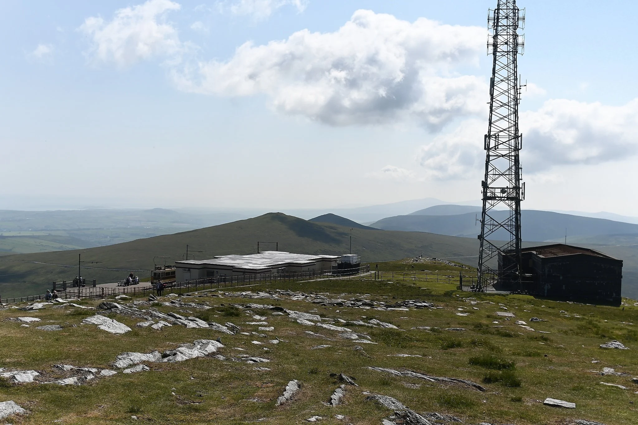
In addition to the tram stop, there is the Snaefell Summit Restaurant & Cafe. Well worth the time to stop in and have a cup of tea.
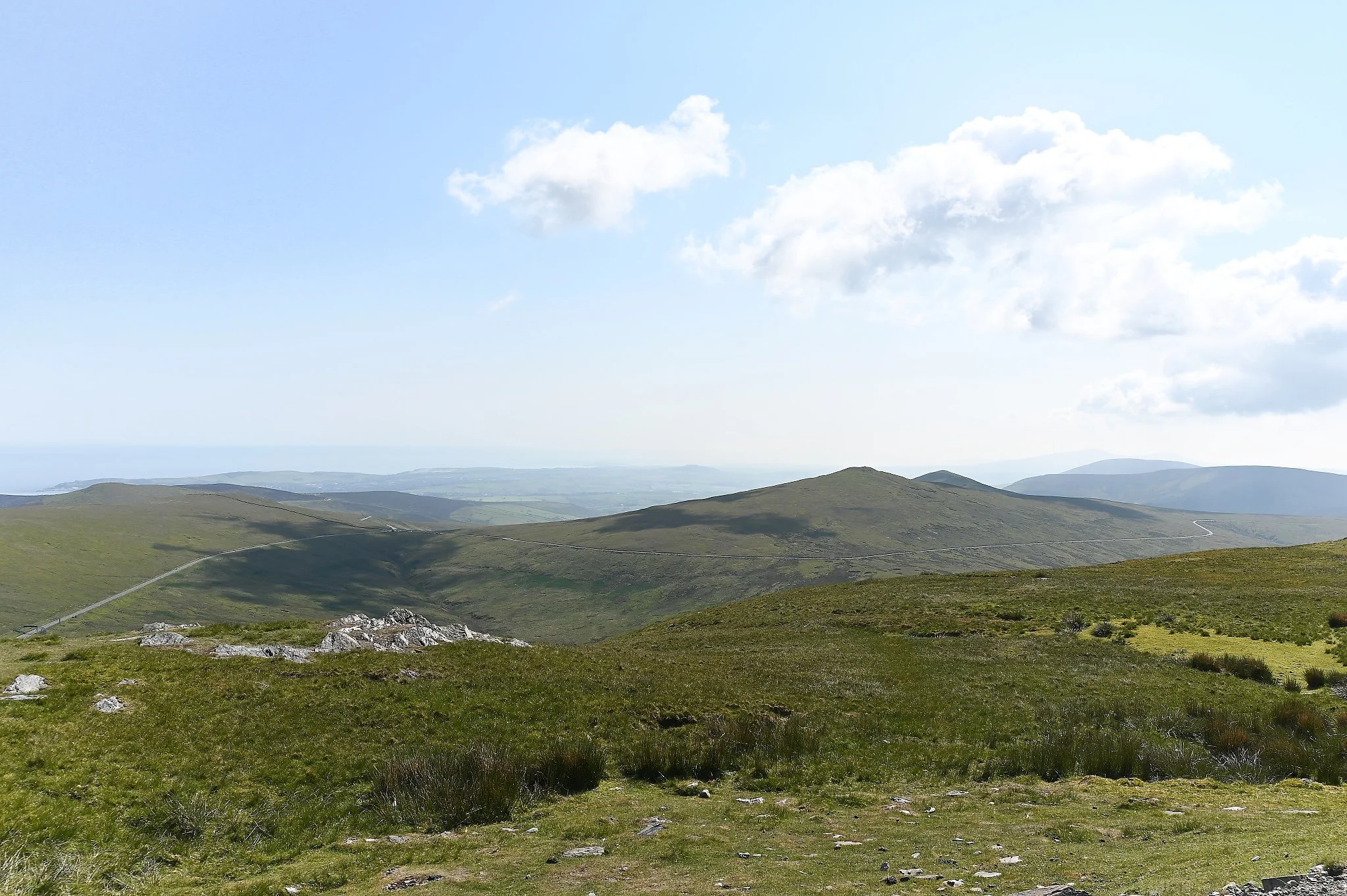
A view from the top of Mt. Snaefell, the highest point on the Isle of Man - 2037ft above sea level.
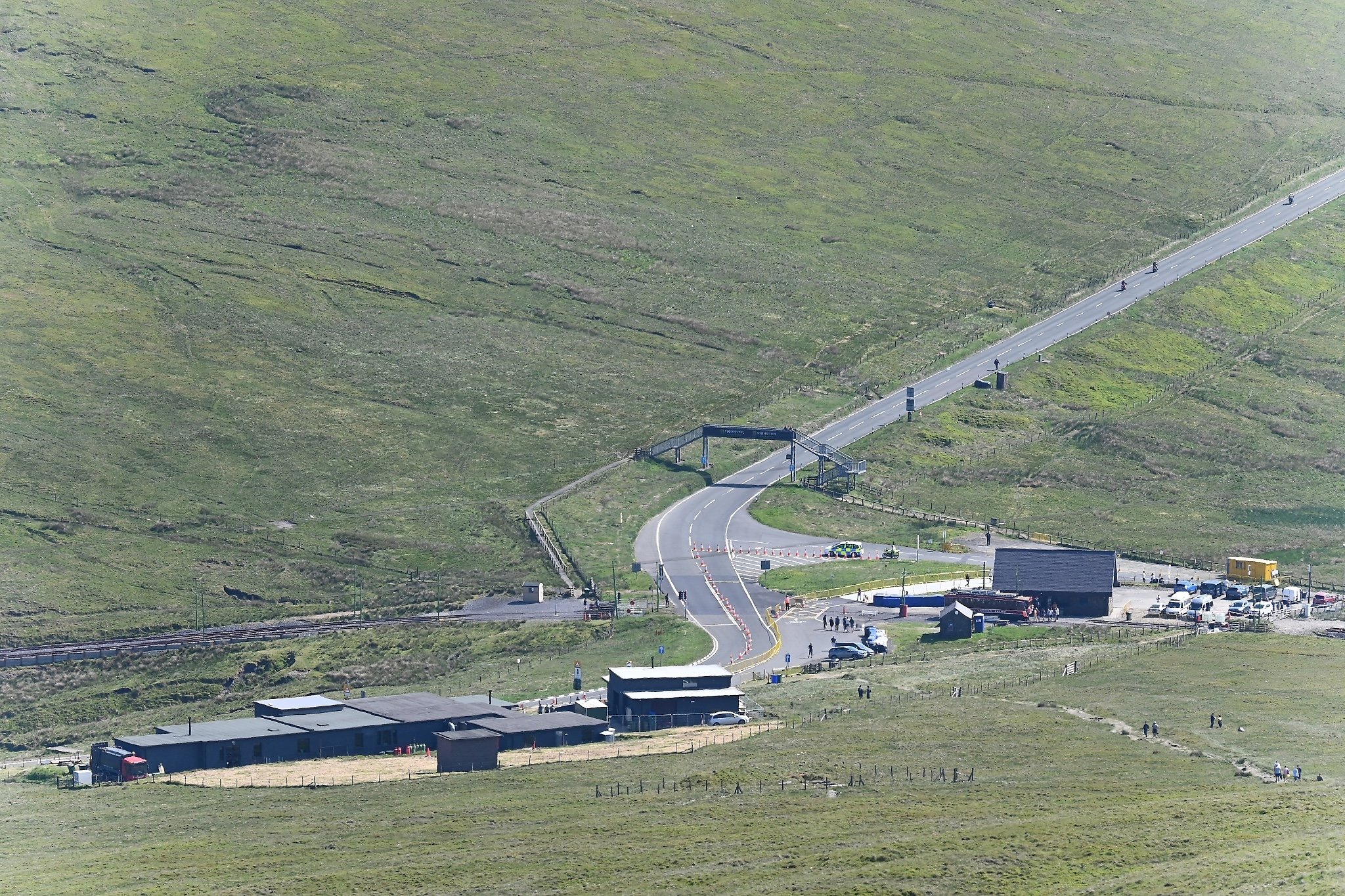
A view of Bungalow - TT Course from the top of Mt Snaefell. The Victory Cafe is on the lower left and the 1st Tram Stop is the building on the right. One historical note - what is now Victory Cafe was originally a Cold War Radar Installation.
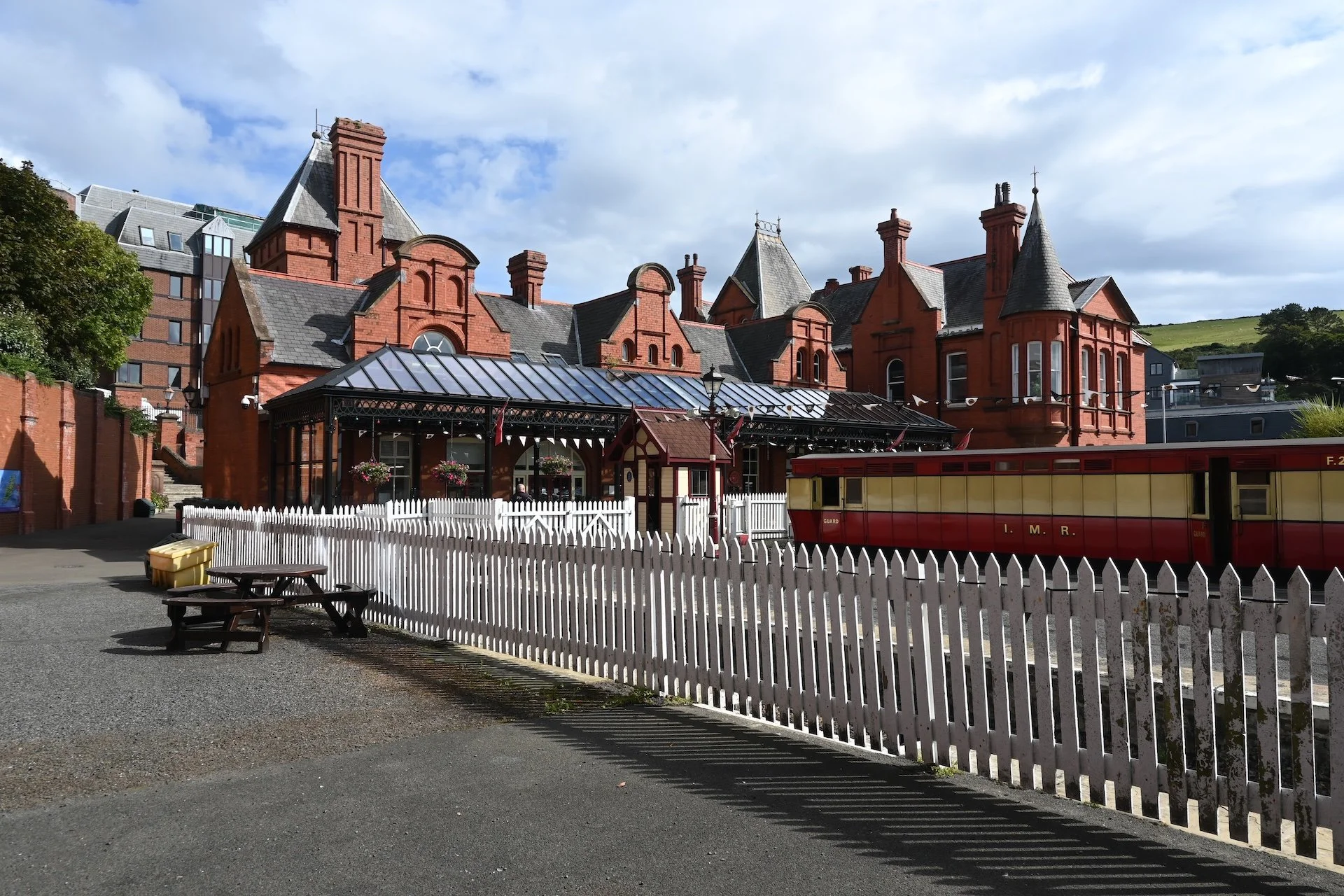
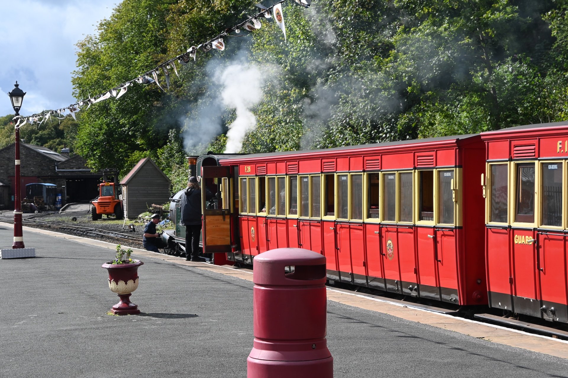
The Isle of Man Steam Railway Station. The railway has been in operation since 1873.
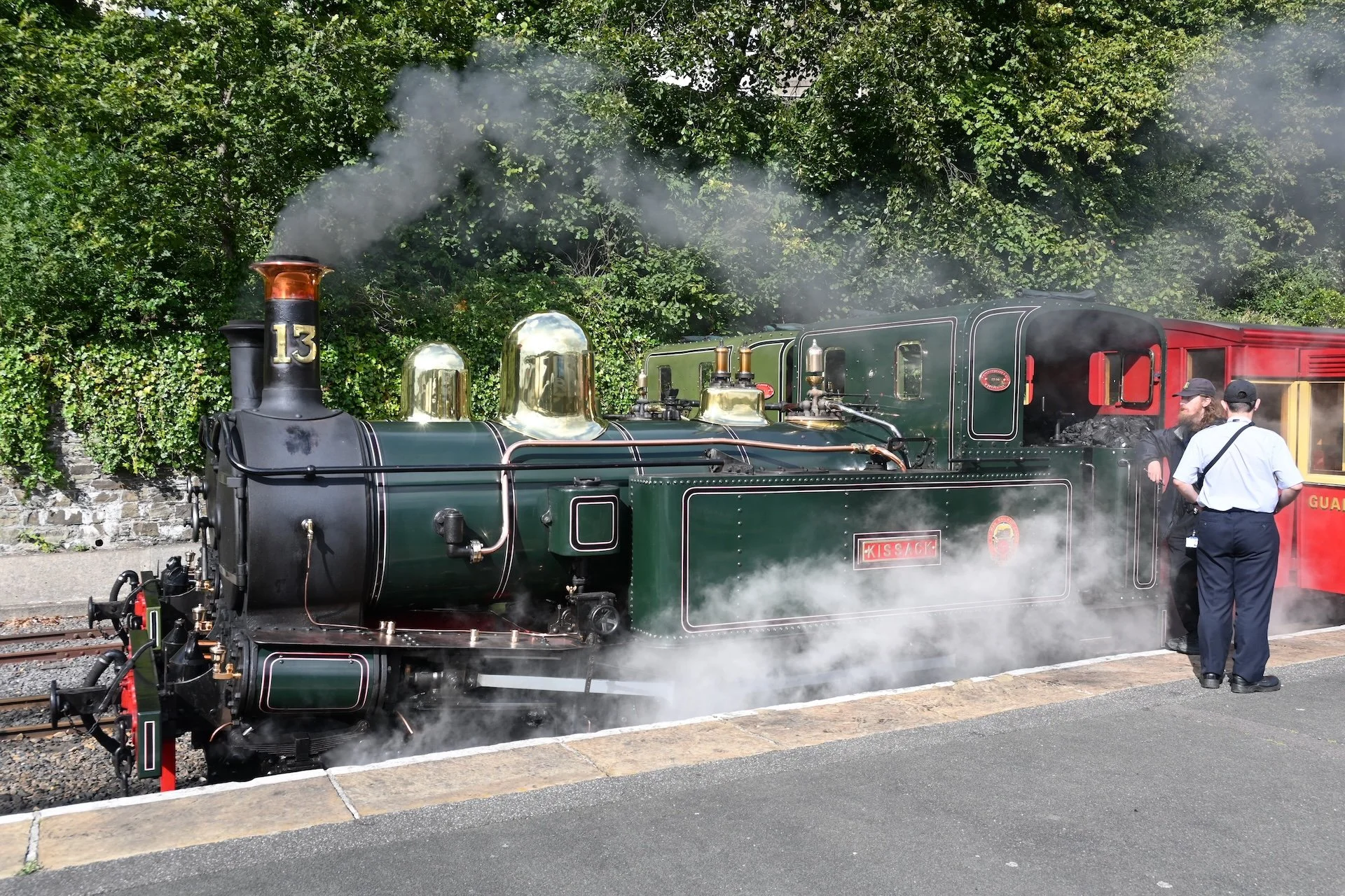
This train is a narrow gauge (3 ft) steam train, with this particular engine #13 Kissack, a 2-4-0T, having been built in 1910.
The passenger cars are known as "Large F" Carriages. These were built between 1905 and 1926, and are still in use today.
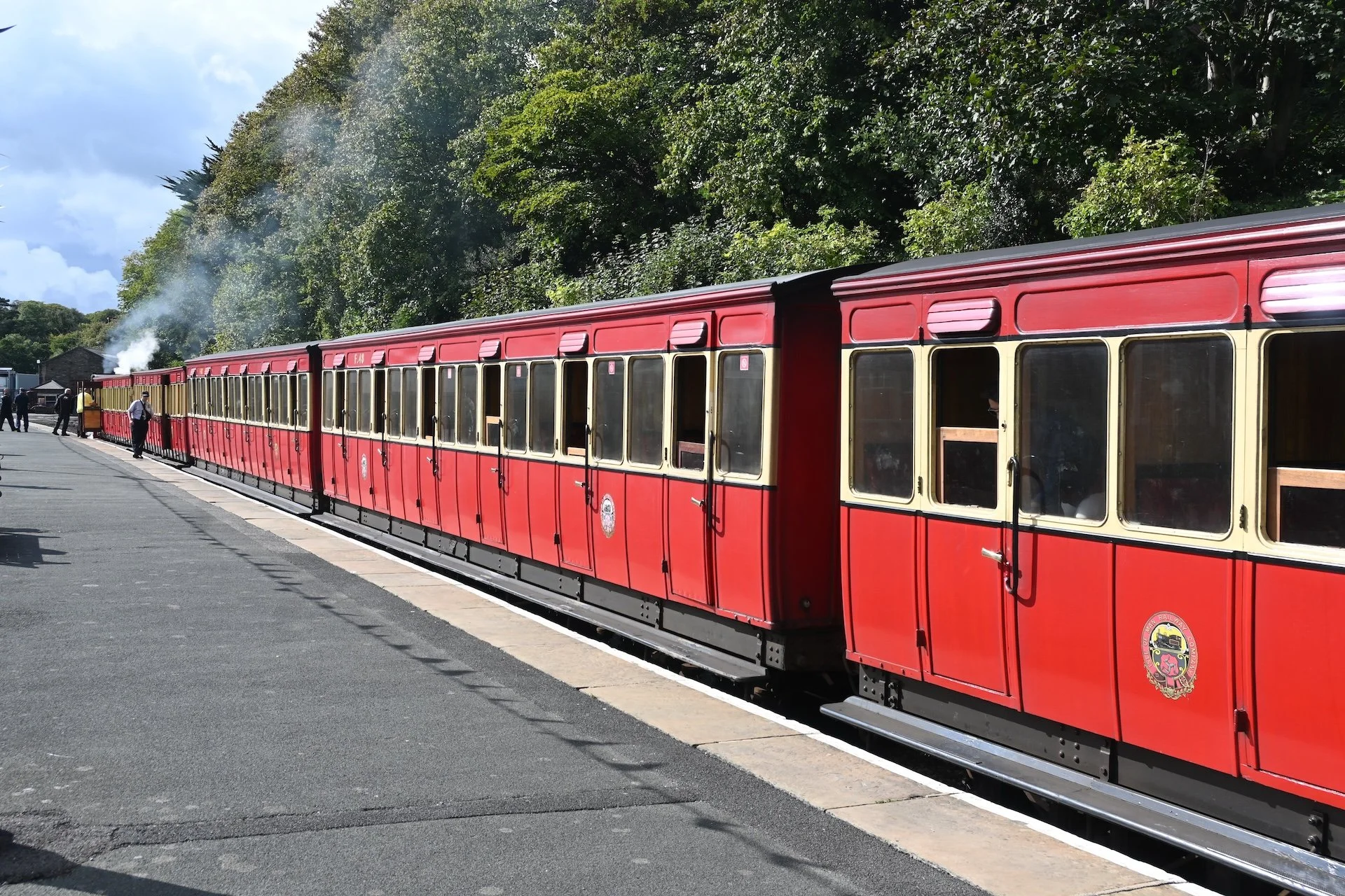
All in all, an elegant way to travel.
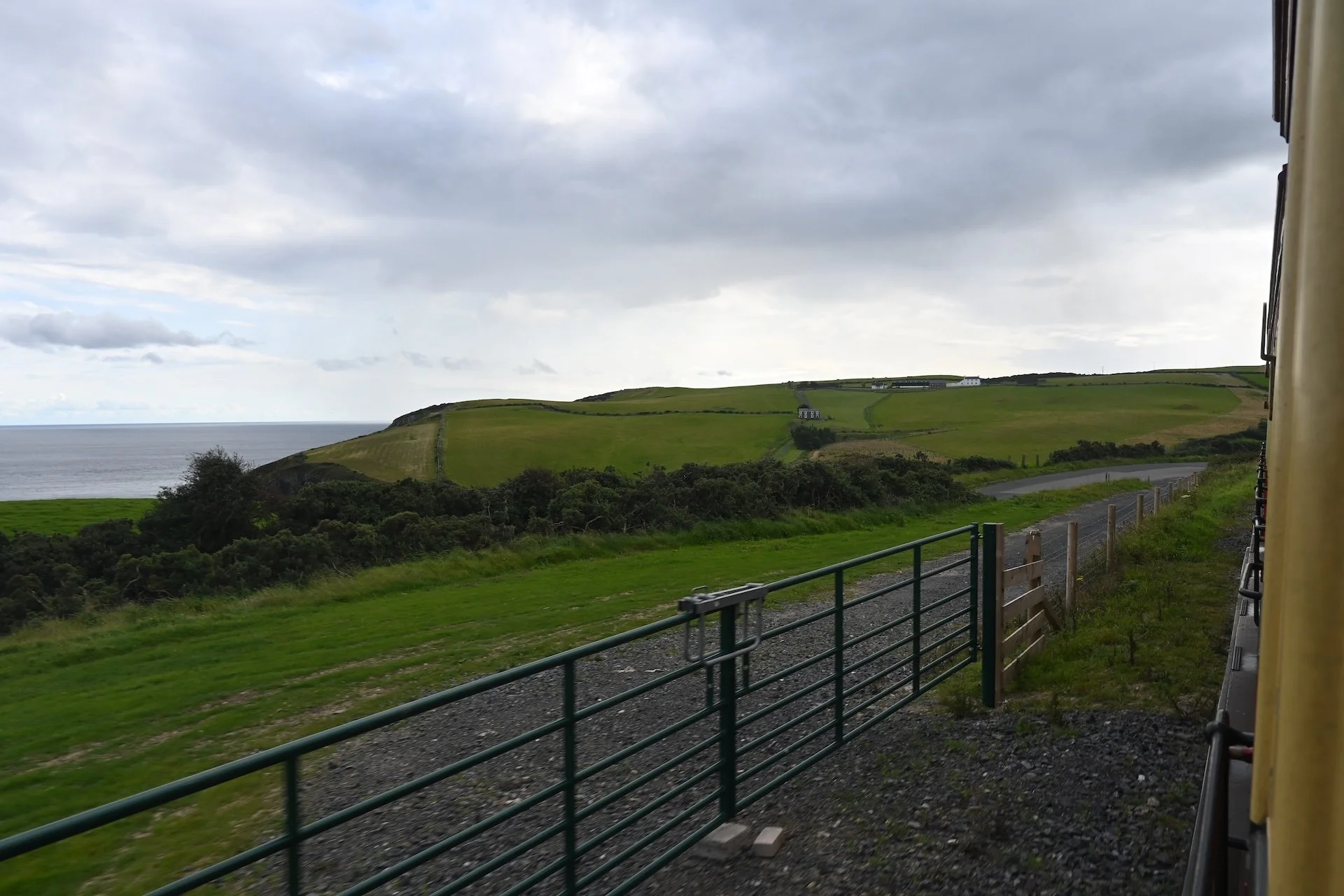
Heading along the south coast of the island towards Port Erin.
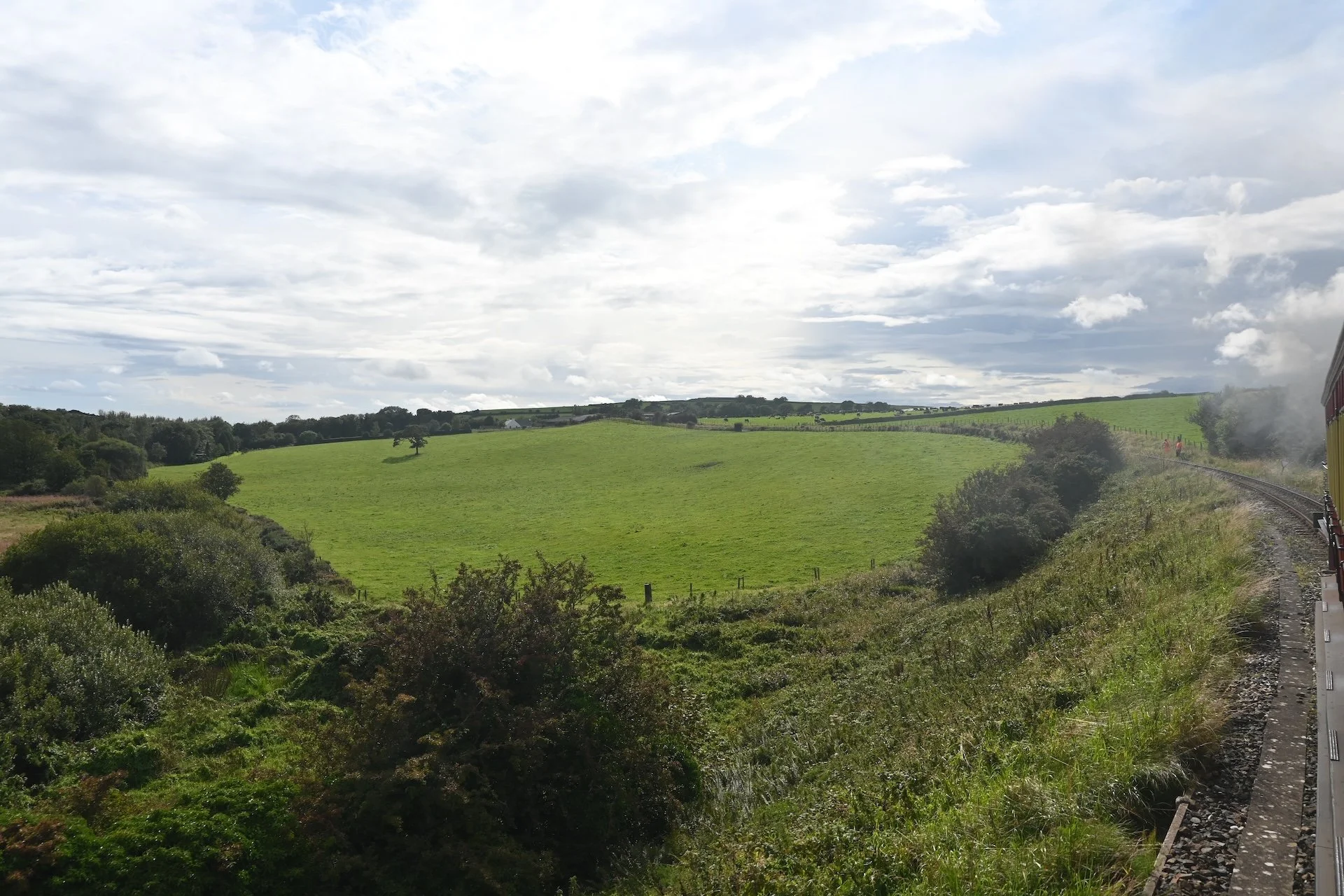
With all the rain, it's no wonder the Isle of Man is so lush.
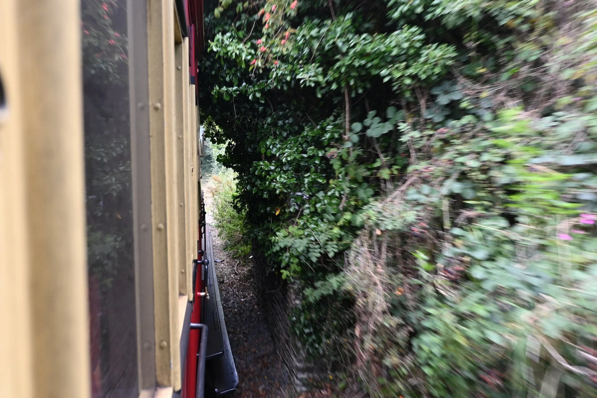
Passing under one of the auto overpasses. There are several of these along the tracks.

It's not uncommon to see Rabbit and , Pheasant in some of the fields as you pass by.
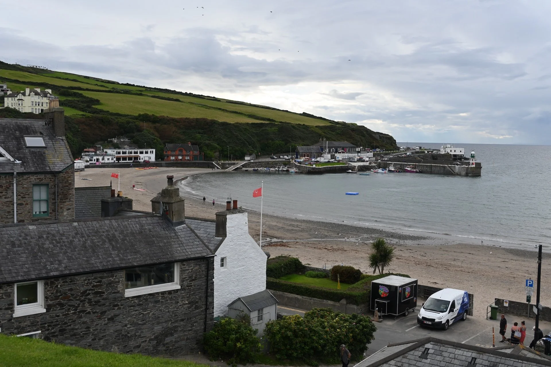
Port Erin. The Port Erin Lifeboat Station is the white building on the right.
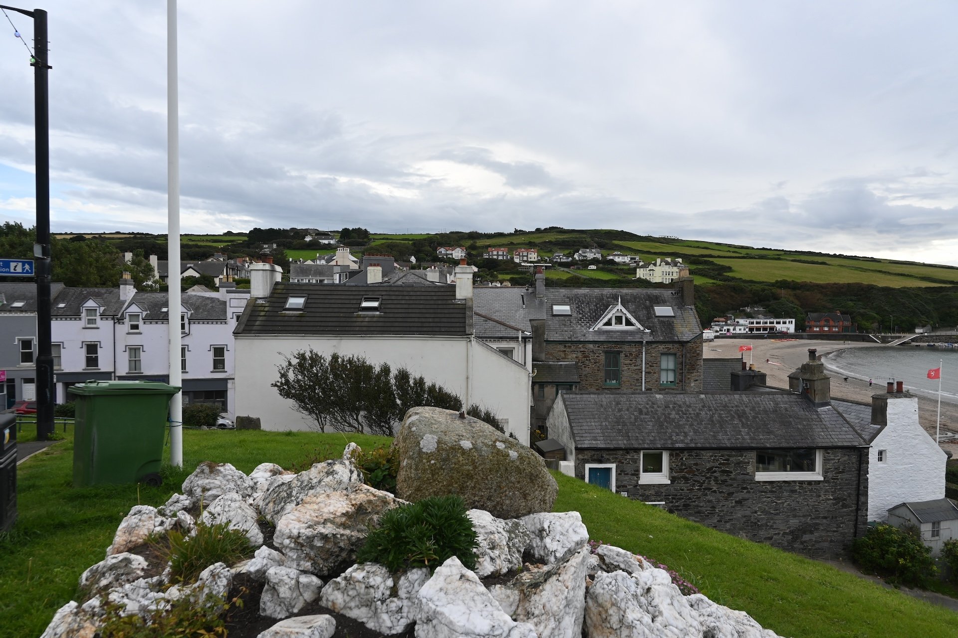
Another view of Port Erin.
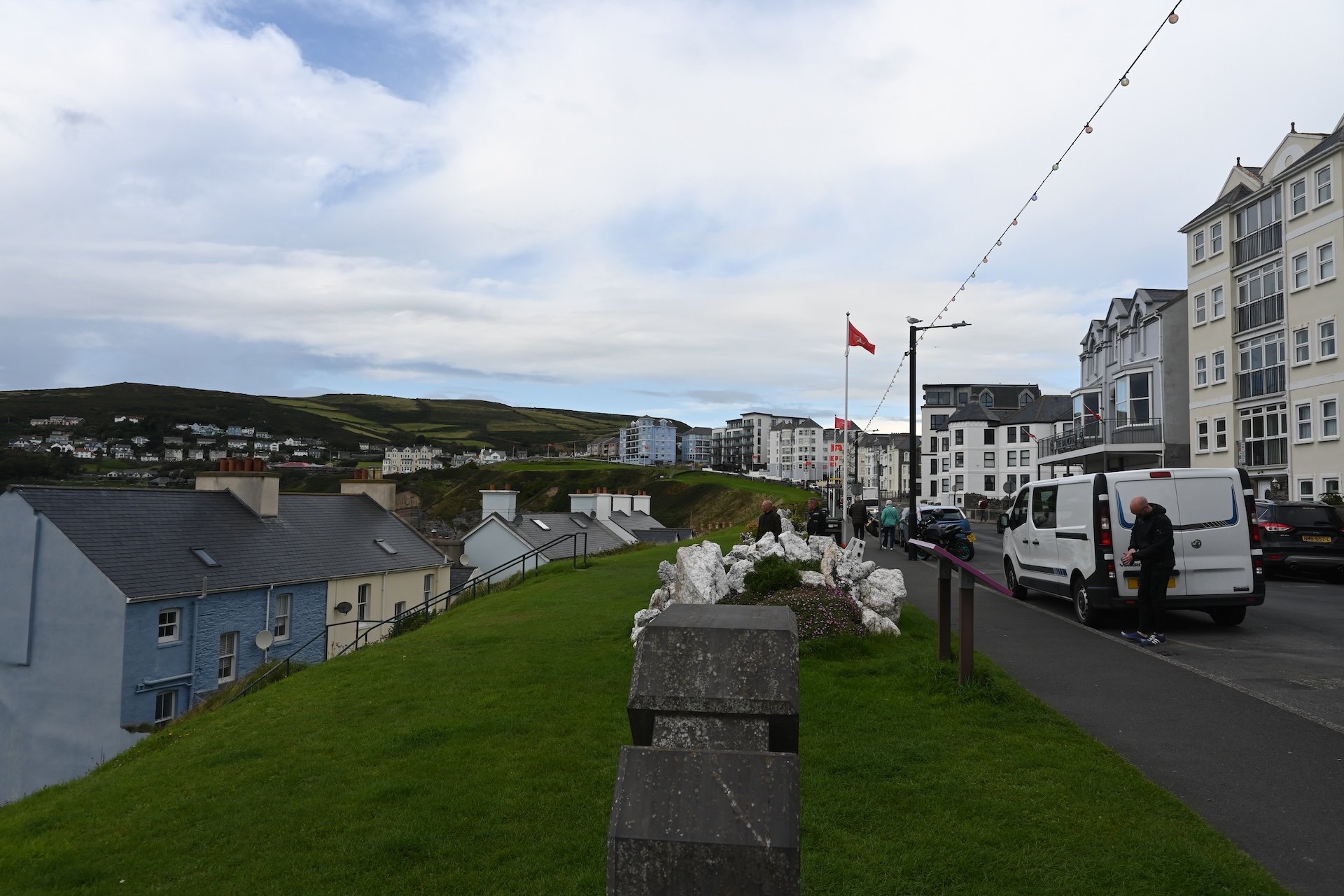
Port Erin may not look like it, but it is actually larger than Laxey.
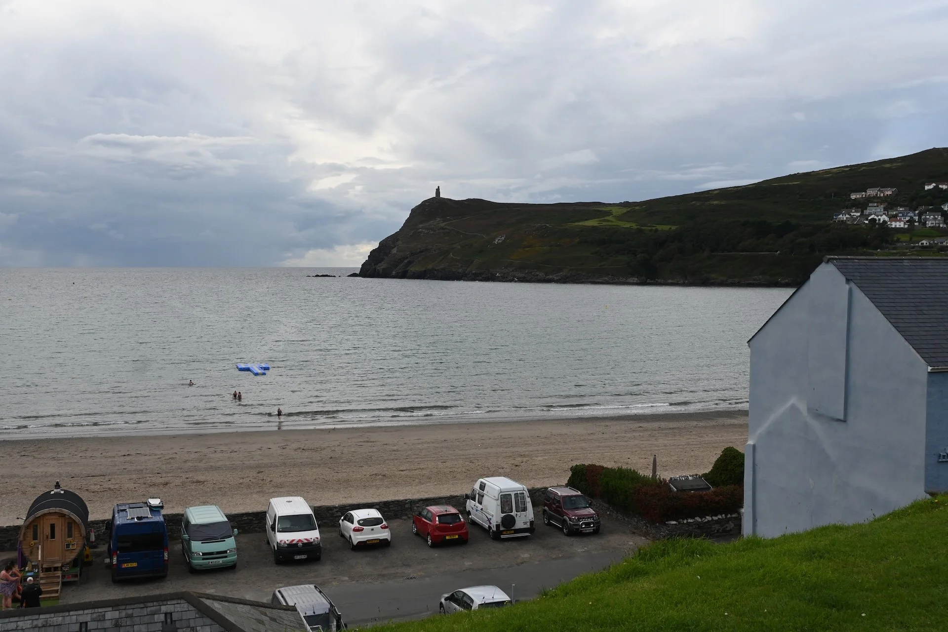
In the far distance you can see Milner's Tower. It was built in 1871 by the people of Port Erin to honor William Milner, a benefactor of the town.
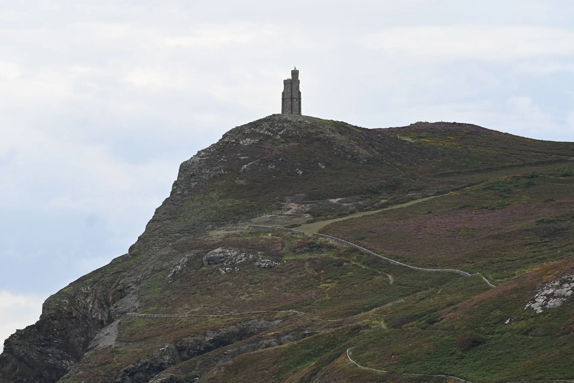
A somewhat closer view of the tower, located on Bradda Headland.
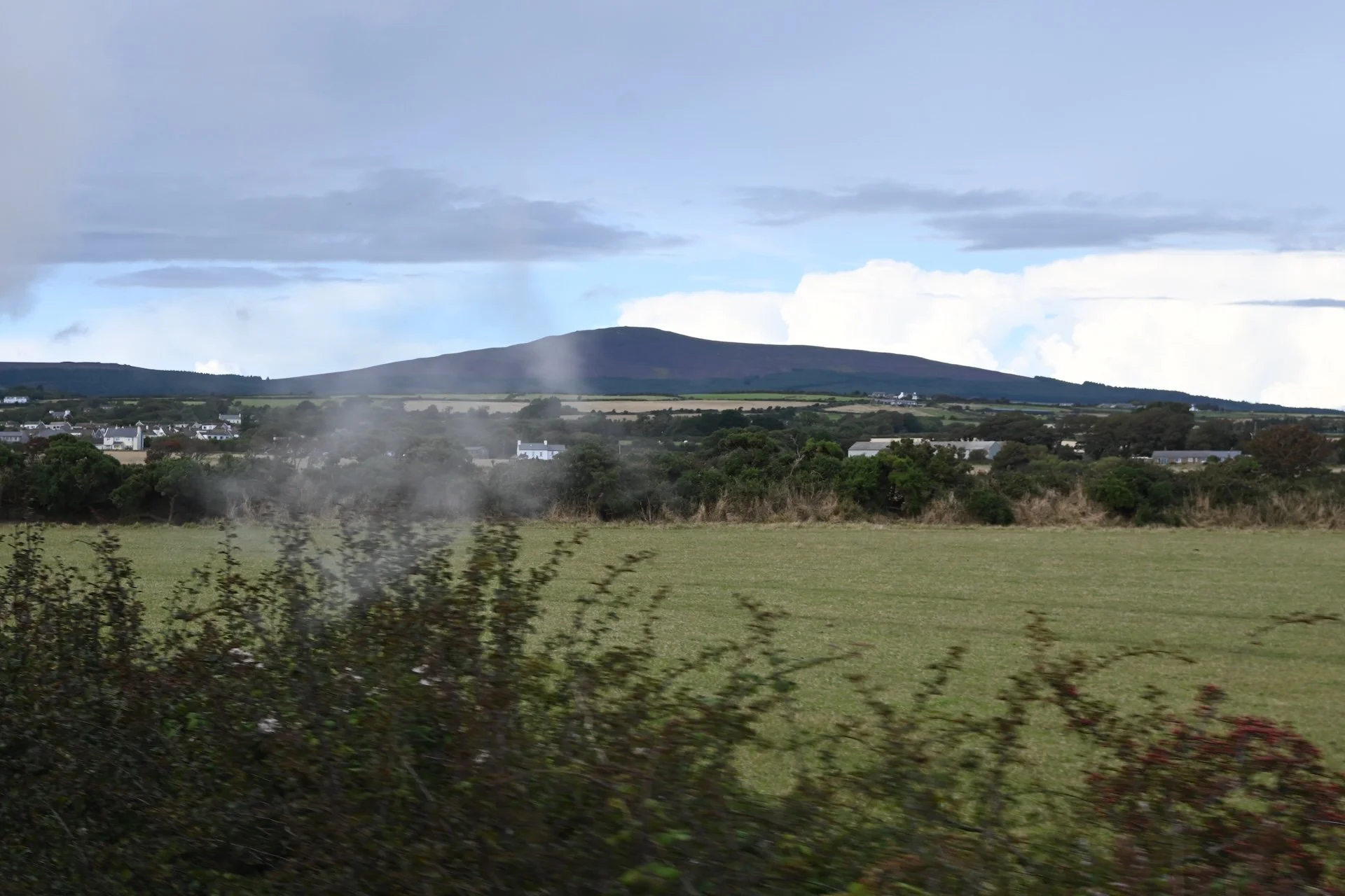
Back on the train, heading south to Castletown.
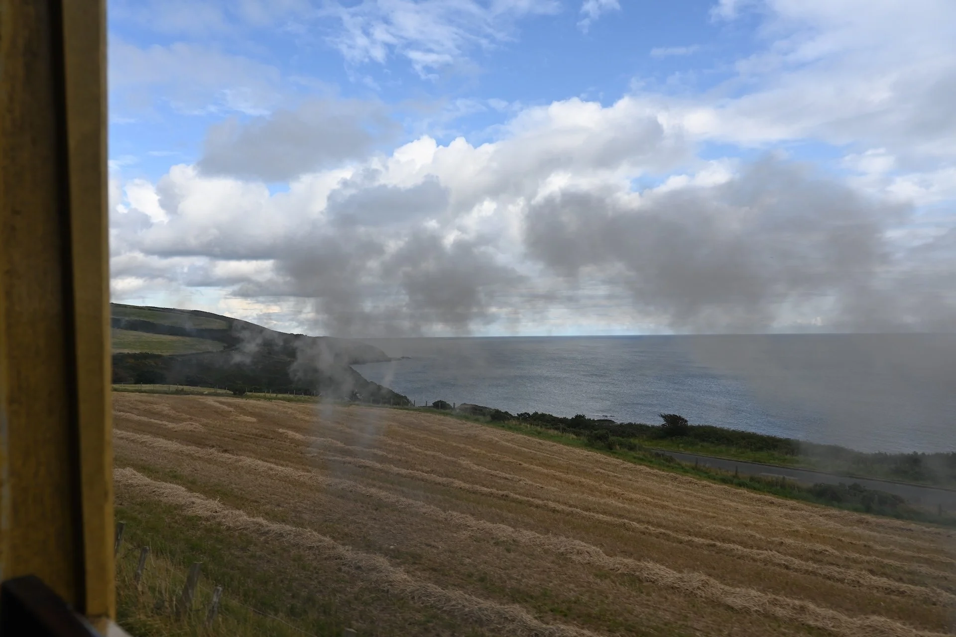
A view of the south side of the island on the way back to Castletown.
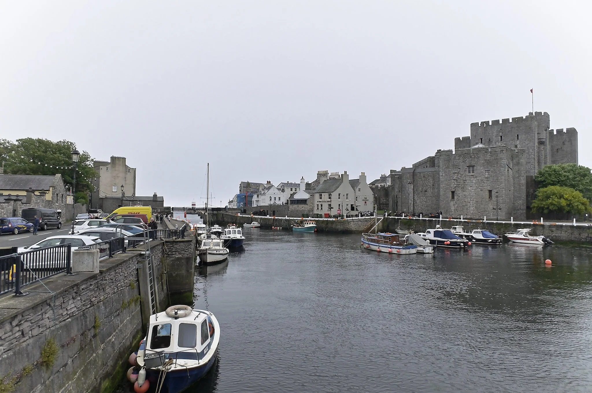
Castletown Harbor.
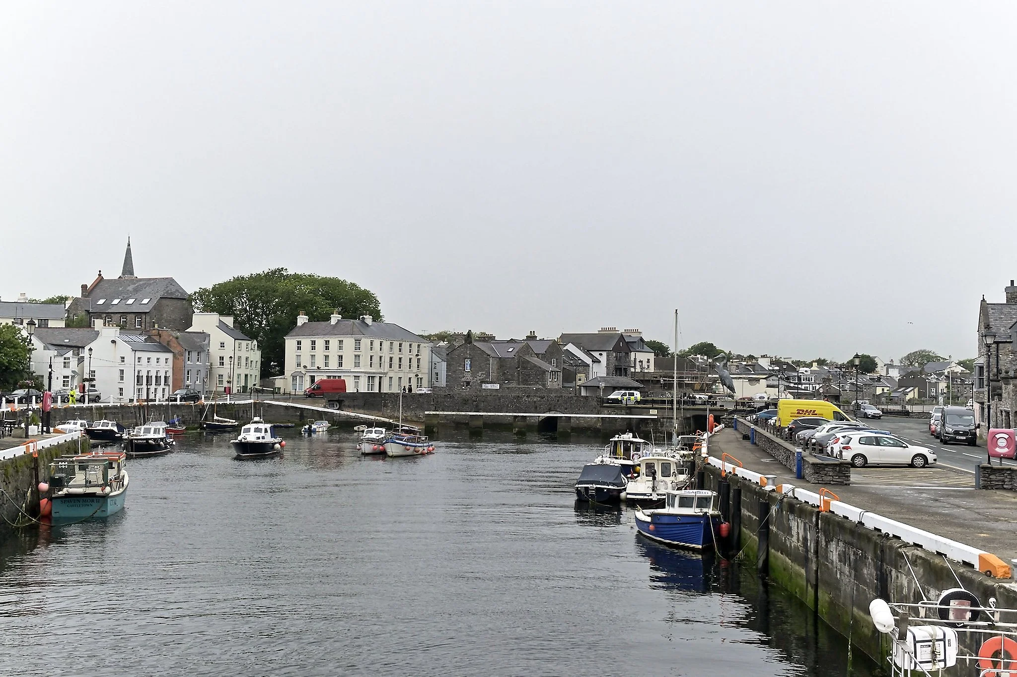
Castletown Harbor with Thirtle Bridge in the background.
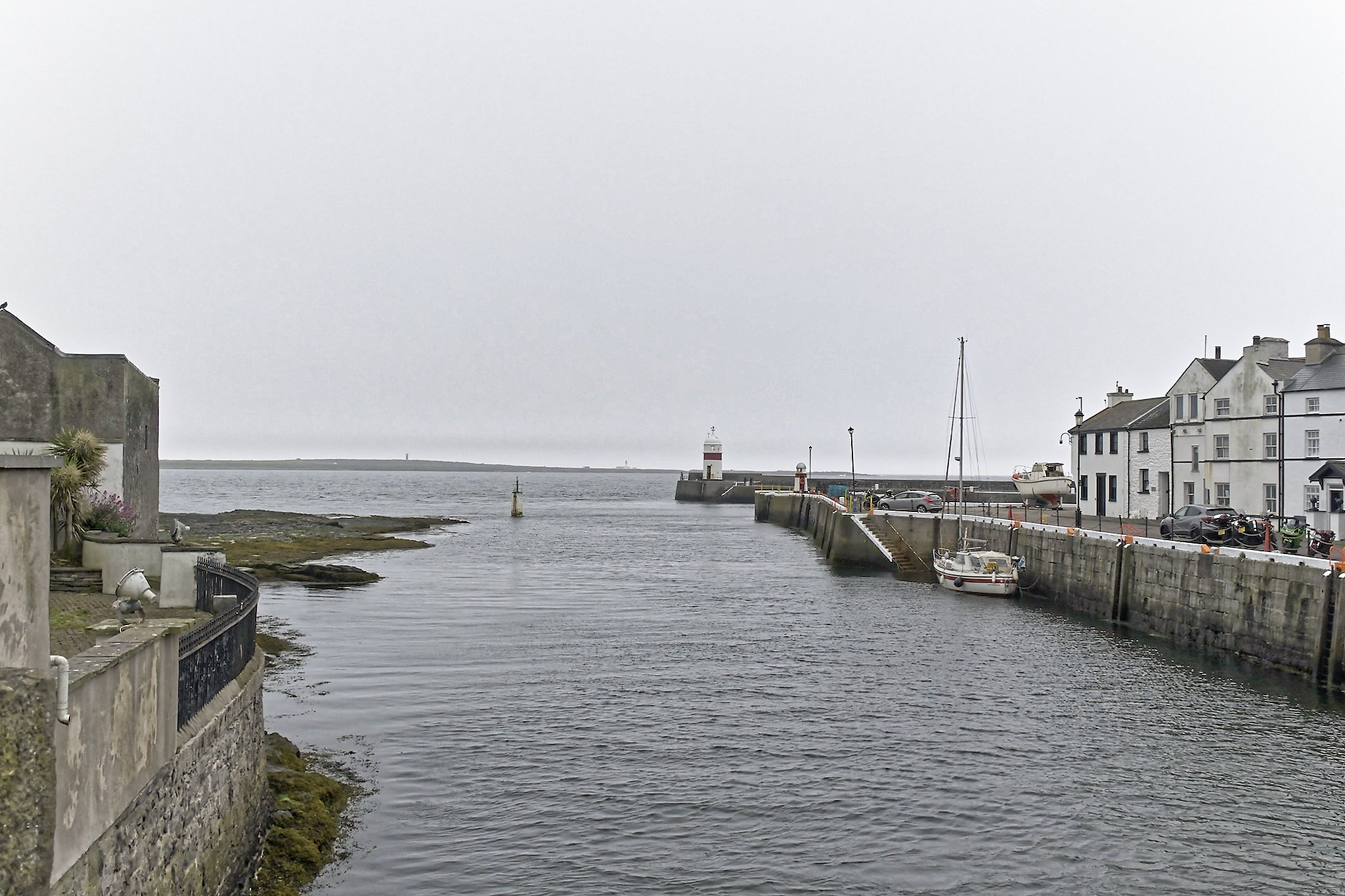
Looking seaward from the entrance of the harbor, with Castletown Lighthouse at the end of the breakwater.
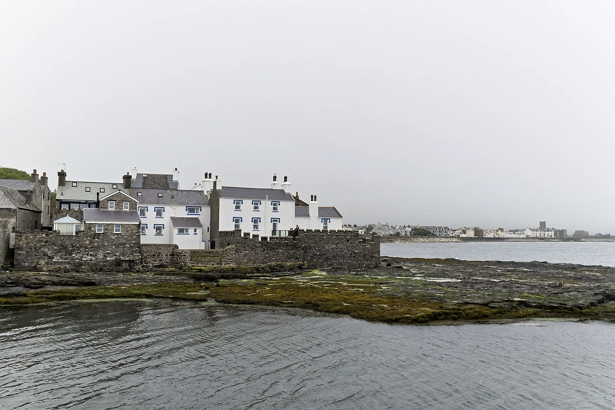
Looking east towards Castletown Bay.
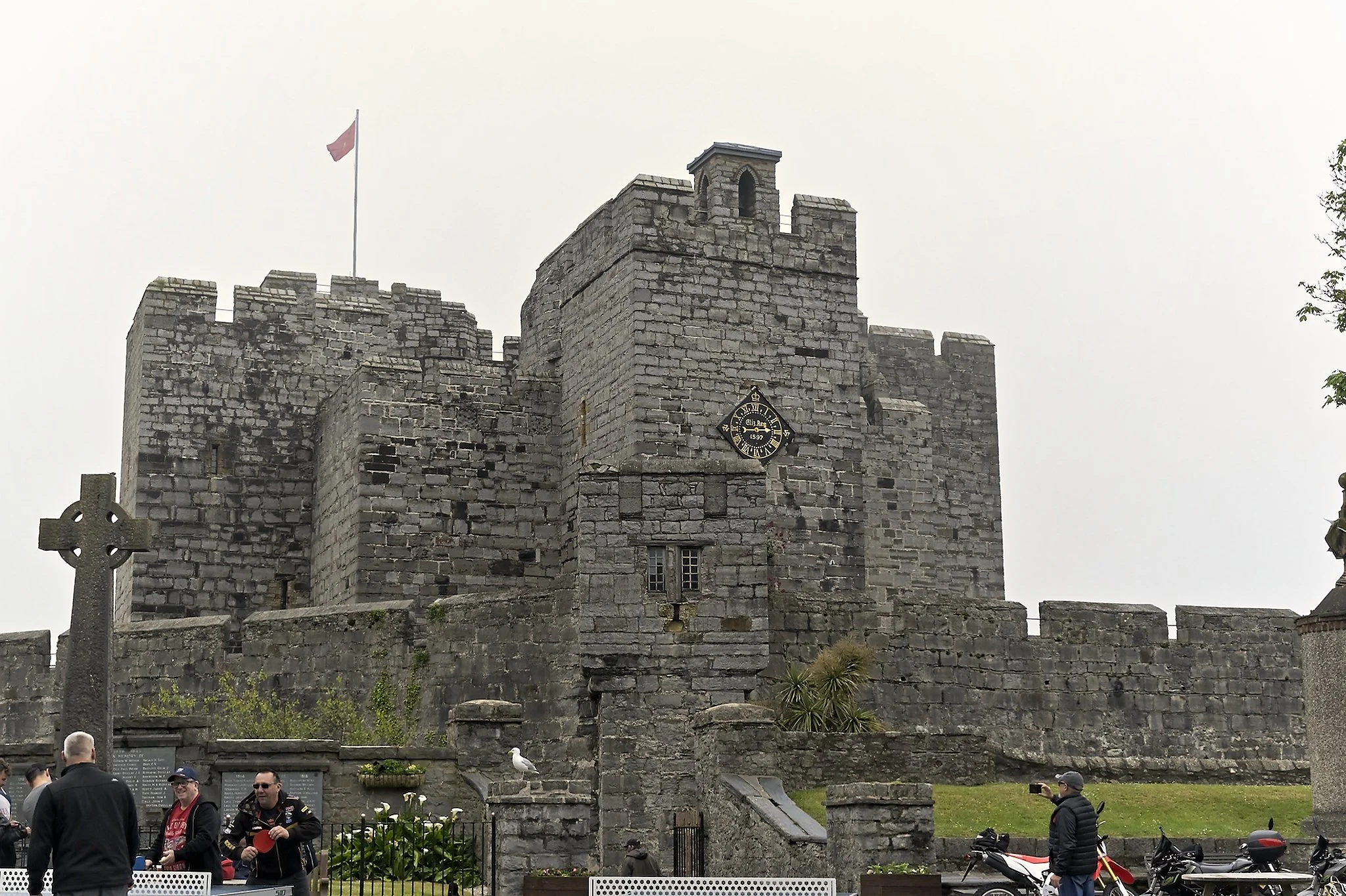
Castle Rushen, which gives Castletown its name. This was at one time the capital of the Isle of Man.
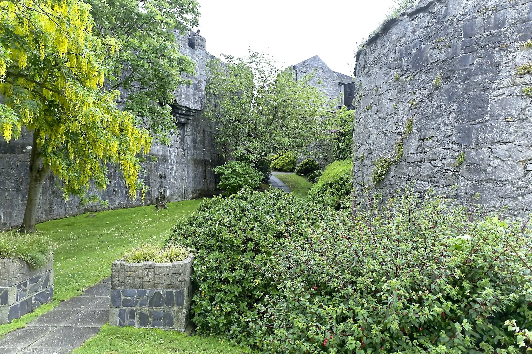
The side courtyard of Castle Rushen.
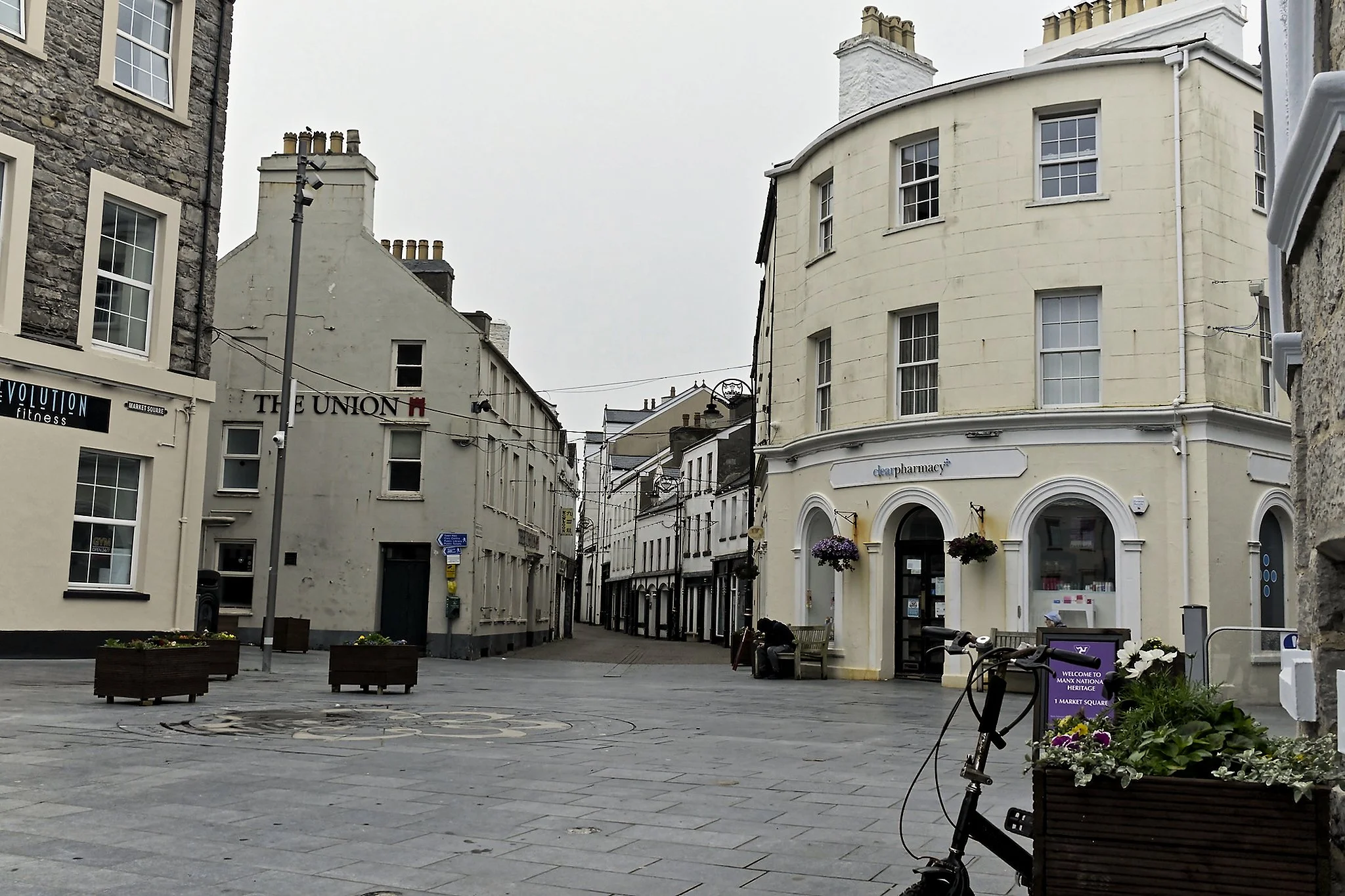
Market Square in Castletown.