
Ohio’s Windy 9
I originally heard about these ride at a trade show back in 2017. They were put together by some local riders in cooperation with the Athens Ohio Chamber of Commerce to help promote tourism for Athens County.
There are 9 individual routes, with 8 being located within the county itself. One of the routes - The Triple Nickle, Ohio Rte 555, stretches all the way up to Zanesville in Muskingum County.
Not having previously ridden in southern Ohio, I didn’t figure the roads would be anything to write home about. I however, could not have been more wrong. While not what I would deem overly technical roads, I did figure out pretty quickly that you definitely did need to bring your “A” game on some of these routes. Southern Ohio roads aren’t like anywhere else; Deer, Wild Turkeys and Amish Hay Wagons are a few of the potential hazards you’ll need to be on the lookout for.
With the exception of the Triple Nickle, all of the routes are based out of Athens. It’s also the home of Ohio University, so there’s plenty of lodging, gas, and dining options. Of course, reservations are always recommended, but I had no problems just dropping in and getting a room for 3 nights.
The routes out of Athens are either under 100 mi or just over 100 mi in length, so it is possible to do 3 routes in a day. I was able to do the whole trip in 4 days. True, that didn’t leave much time for stopping or taking in the sights, but back then I was more into riding the ride and not so much enjoying the experience. Plus, Athens is only a day’s ride from home, so I can always go back and re-ride the routes. I think in early or mid-October would be a great time to do that.
The other reason I blasted through these rides was out of frustration. I had downloaded the .gpx files from the Windy 9 website and loaded them into my GPS. Apparently, the Athens Chamber of Commerce had teamed up with RoadRunner Magazine to produce the pamphlet and create the .gpx files for the routes. About halfway through one of the routes the GPS wanted to route me into the middle of the Ohio River over a bridge that didn’t exist, so I knew there was something fishy about the route files. At that point the only other way I had to figure the route out was via the pamphlet/tank bag maps. So, yeah, it was a bit frustrating.
The good news is that it doesn’t have to be frustrating for you! I’ve re-created the routes, in standard .gpx format, using Garmin Basecamp. You can download them here, along with the official Windy 9 Tank Bag Maps:
Rim Of The World (tank bag map .pdf)
Rim Of The World (.gpx file)
Southern Dip (tank bag map .pdf)
Southern Dip (.gpx file)
Hocking Hills Nipper (tank bag map .pdf)
Hocking Hills Nipper (.gpx file)
Lazy Rivers (tank bag map .pdf)
Lazy Rivers (.gpx file)
Zaleski Zipper (tank bag map .pdf)
Zaleski Zipper(.gpx file)
Pioneer Pass (tank bag map .pdf)
Pioneer Pass (.gpx file)
Pomeroy Dash (tank bag map .pdf)
Pomeroy Dash (.gpx file)
Black Diamond Run (tank bag map .pdf)
Black Diamond Run (.gpx file)
Triple Nickle (tank bag map .pdf)
Triple Nickle (.gpx file)
If you get the chance to ride the Windy 9, I highly suggest it.
Stay safe out there.
Matt
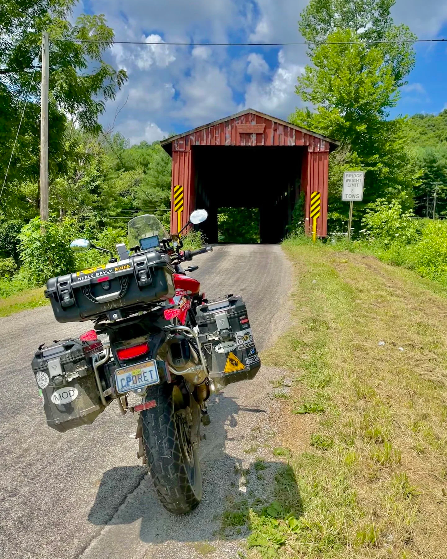
Kidwell Covered Bridge, Millfield OH